- Planet Earth
- Geology
A new study reveals a detailed look at what lies beneath the Hawaiian hotspot.
When you purchase through links on our site, we may earn an affiliate commission. Here’s how it works.
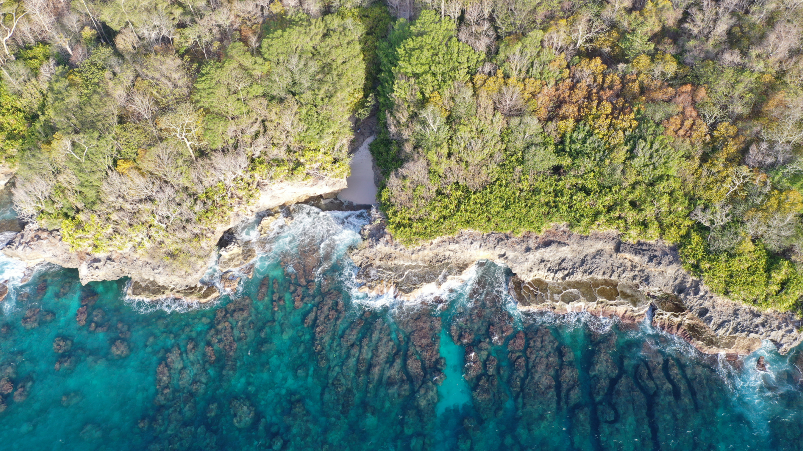
 A "mega-blob" deep beneath Hawaii may be fueling a volcanic hotspot, according to a new study.
(Image credit: Warren Ishii / 500px via Getty Images)
Share by:
A "mega-blob" deep beneath Hawaii may be fueling a volcanic hotspot, according to a new study.
(Image credit: Warren Ishii / 500px via Getty Images)
Share by:
- Copy link
- X
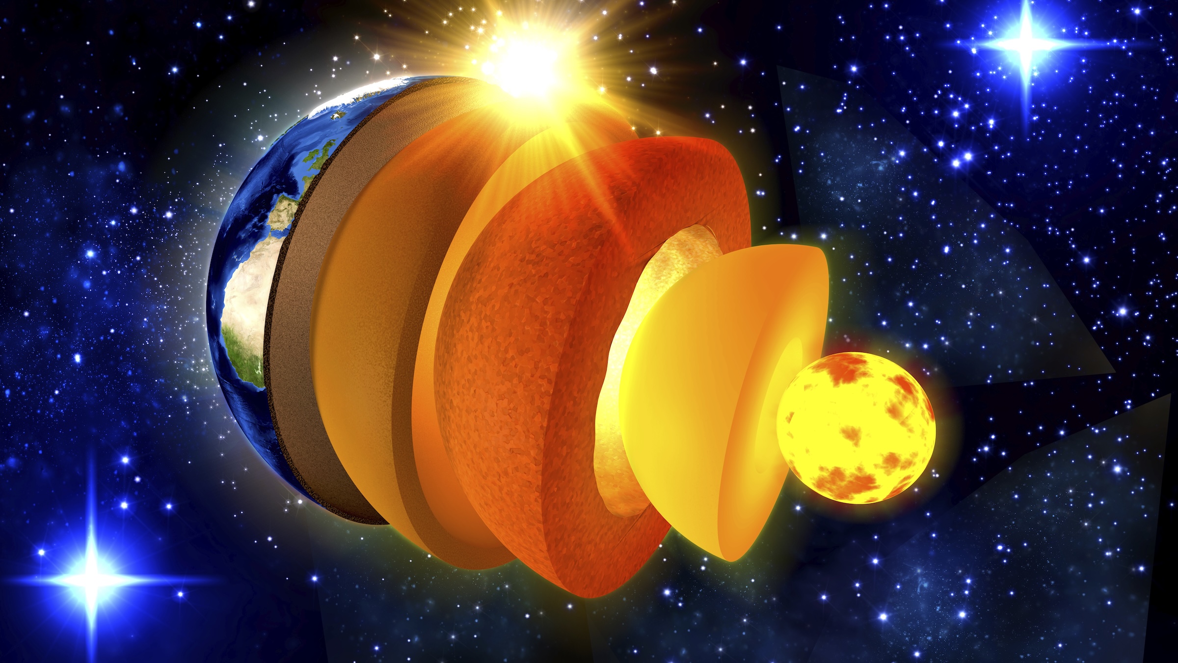
A massive blob deep under Hawaii seems to be solid and iron-rich, new research finds.
This blob — scientifically known as a mega-ultralow velocity zone — may anchor the Hawaii hotspot, an area where hot material rises through the mantle and drives the volcanic activity that created the Hawaiian Islands.
"Because it's iron-rich material, it is going to be electrically more conductive, and that will actually promote thermal conduction — so it will actually help localize the plume to last longer," said Doyeon Kim, a seismologist at Imperial College London and the first author of the new study, published Jan. 28 in the journal Science Advances.
You may like-
 Giant structure discovered deep beneath Bermuda is unlike anything else on Earth
-
 Eruptions of ocean volcanoes may be the echoes of ancient continental breakups
-
 Undersea lava rubble acts as a 'sponge' for carbon dioxide, study finds
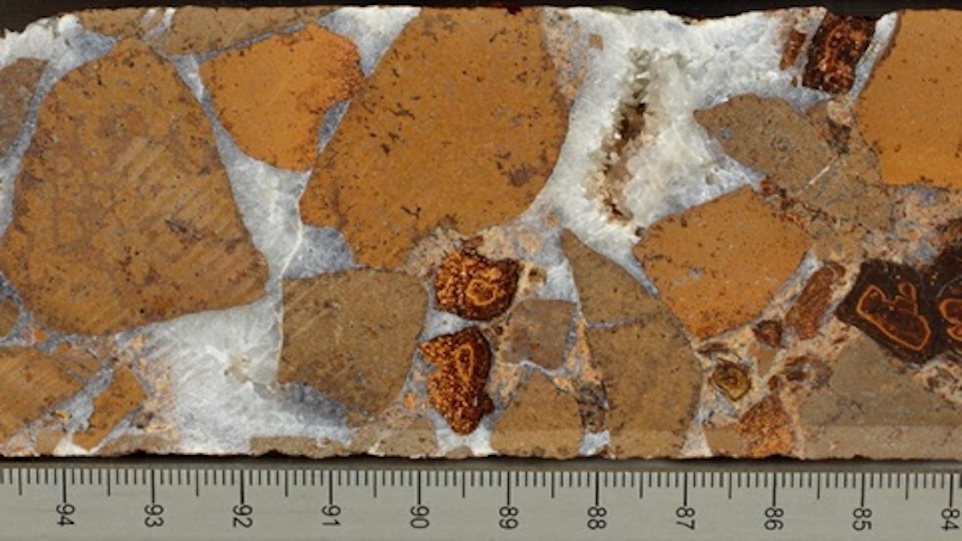
Ultralow velocity zones (ULVZs) are giant hunks of the planet that sit near the boundary of the mantle and the core, at about 1,800 miles (2,900 kilometers) below the Earth's surface. They get their name from the fact that seismic waves from earthquakes slow down dramatically in these regions. Mega-ultralow velocity zones are the largest of these regions, which often span hundreds of kilometers. They're often found near volcanic hotspots, such as Hawaii, Iceland and the Marquesas Islands of the South Pacific.
"It actually makes them one of our few direct windows into deep-Earth composition and dynamics," Kim told Live Science.
Because these blobs are so deep, scientists typically study them using compressional waves generated by earthquakes. But these pressure waves, or P waves, provide limited information. So Kim and his colleagues used a method they developed in 2020 that could also incorporate S waves, or shear waves, which create vertical motion. By combining data from both types of waves and then modeling rocks and minerals that could match those data, the researchers could get a clearer picture of why the waves slow down in those zones.
They found that the mega-ULVZ under Hawaii is likely rich in iron and solid rock. That largely rules out a competing hypothesis that suggested the area might be extra-melty.
Sign up for the Live Science daily newsletter nowContact me with news and offers from other Future brandsReceive email from us on behalf of our trusted partners or sponsorsBy submitting your information you agree to the Terms & Conditions and Privacy Policy and are aged 16 or over.RELATED STORIES—Mysterious 'blobs' in Earth's mantle are not what we thought, study claims
—Scientists find hidden 'hotspot' that helped create the Great Lakes before North America even existed
—Giant blobs in Earth’s mantle may be driving a 'diamond factory' near our planet’s core
With this information, "we can think about where it is coming from," Kim said. "It could be coming from the relics of Earth's earliest evolution, particularly from the crystallization of a basal magma ocean or recrystallized melt from past mantle melting."
Not every mega-ULVZ may be created equally, Kim added. Some might form from the subduction of water-rich oceanic crust deep into the mantle. Perhaps others involve material from the core itself. The approach in the new paper can help differentiate these types of ULVZs worldwide, he said, as well as shedding light on how planets form in the first place.
"We have to first clearly understand what's happening on Earth to understand fully what's happening on other planets," he said.
Article SourcesKim, D., Song, J.-H., Dobrosavljevic, V. V., & Lekić, V. (2026). Seismic and mineralogical evidence for an iron-rich mega–ultralow-velocity zone beneath Hawai'i. Science Advances, 12(5). https://doi.org/10.1126/sciadv.adz1962
TOPICS hawaii Stephanie PappasSocial Links NavigationLive Science Contributor
Stephanie Pappas is a contributing writer for Live Science, covering topics ranging from geoscience to archaeology to the human brain and behavior. She was previously a senior writer for Live Science but is now a freelancer based in Denver, Colorado, and regularly contributes to Scientific American and The Monitor, the monthly magazine of the American Psychological Association. Stephanie received a bachelor's degree in psychology from the University of South Carolina and a graduate certificate in science communication from the University of California, Santa Cruz.
View MoreYou must confirm your public display name before commenting
Please logout and then login again, you will then be prompted to enter your display name.
Logout Read more Giant structure discovered deep beneath Bermuda is unlike anything else on Earth
 Eruptions of ocean volcanoes may be the echoes of ancient continental breakups
 Undersea lava rubble acts as a 'sponge' for carbon dioxide, study finds
 Earth is 'missing' lighter elements. They may be hiding in its solid inner core.
 Earth's crust hides enough 'gold' hydrogen to power the world for tens of thousands of years, emerging research suggests
 Extreme 'paradise' volcano in Costa Rica is like a piece of ancient Mars on our doorstep
Latest in Geology
Extreme 'paradise' volcano in Costa Rica is like a piece of ancient Mars on our doorstep
Latest in Geology
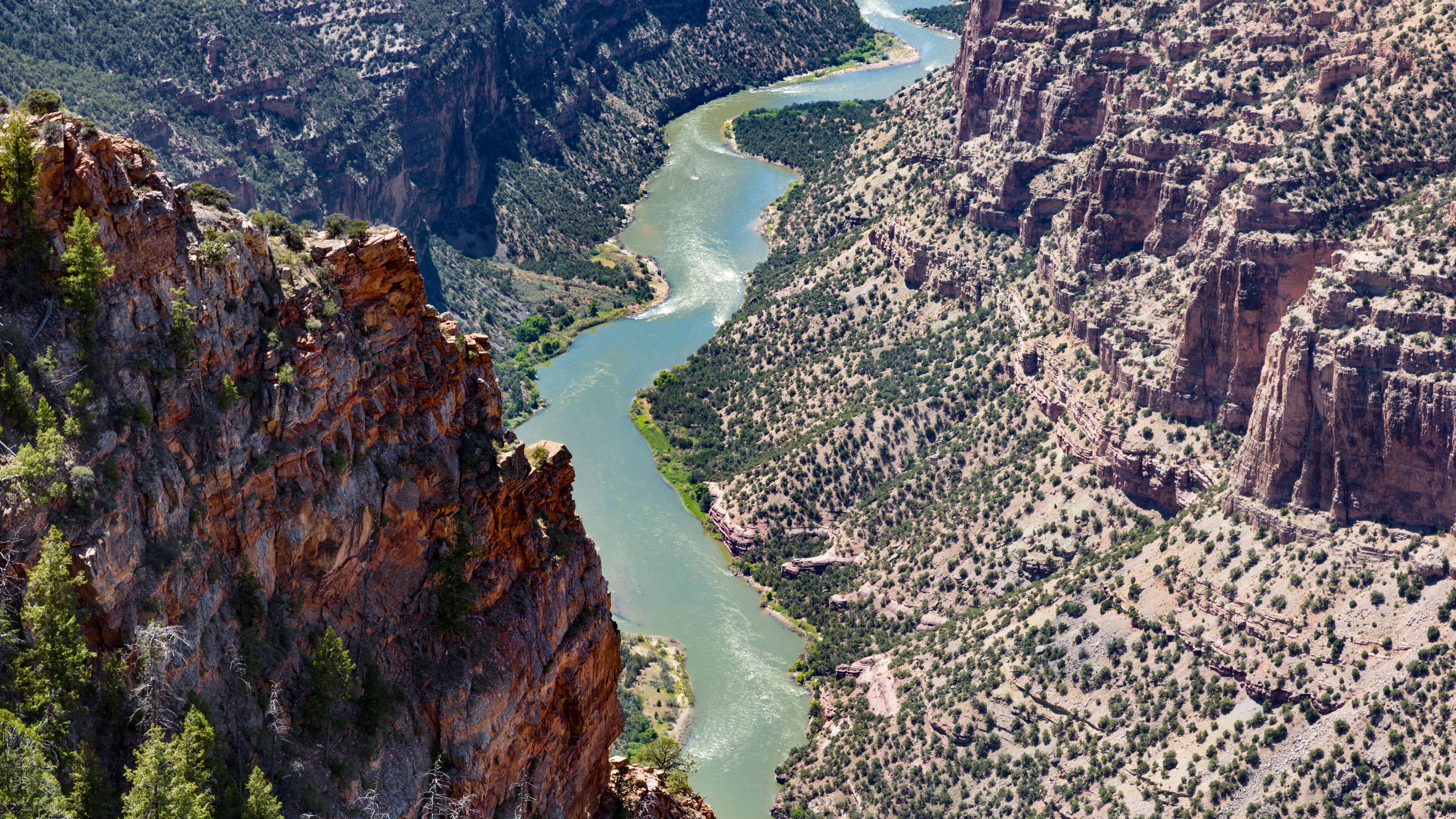 The Colorado River's largest tributary flows 'uphill' for over 100 miles — and geologists may finally have an explanation for it
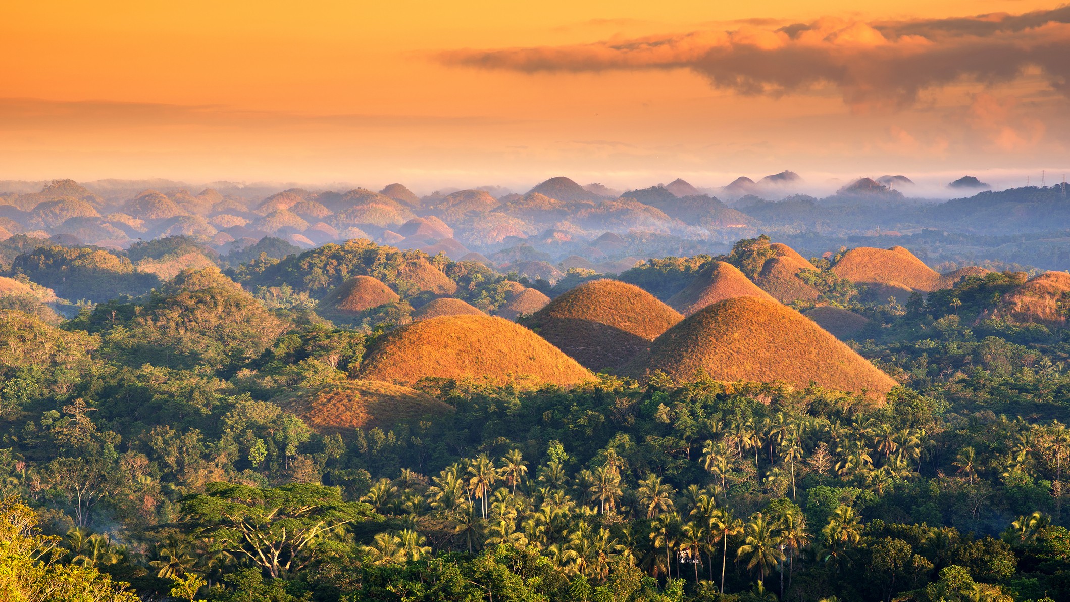 Chocolate Hills: The color-changing mounds in the Philippines that inspired legends of mud-slinging giants
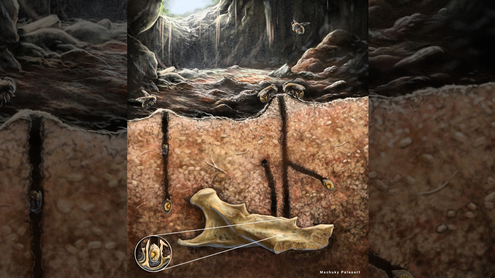 Ancient burrowing bees made their nests in the tooth cavities and vertebrae of dead rodents, scientists discover
Giant structure discovered deep beneath Bermuda is unlike anything else on Earth
Earth's crust hides enough 'gold' hydrogen to power the world for tens of thousands of years, emerging research suggests
Ancient burrowing bees made their nests in the tooth cavities and vertebrae of dead rodents, scientists discover
Giant structure discovered deep beneath Bermuda is unlike anything else on Earth
Earth's crust hides enough 'gold' hydrogen to power the world for tens of thousands of years, emerging research suggests
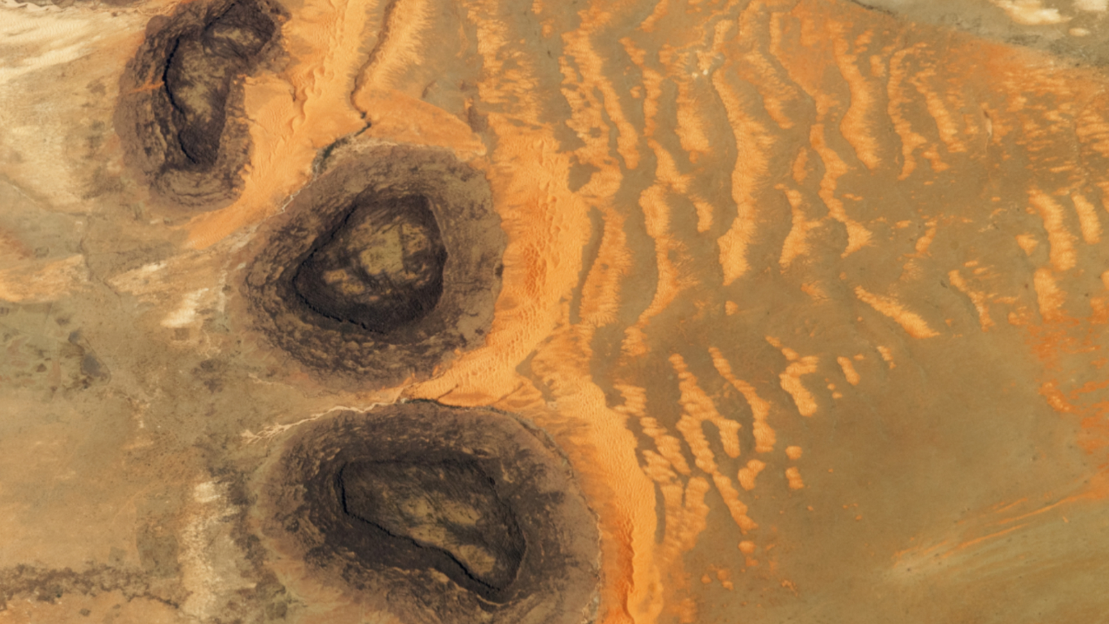 Trio of 'black mesas' leftover from Paleozoic era spawn rare sand dunes in the Sahara
Latest in News
Enormous 'mega-blob' under Hawaii is solid rock and iron, not gooey — and it may fuel a hotspot
Trio of 'black mesas' leftover from Paleozoic era spawn rare sand dunes in the Sahara
Latest in News
Enormous 'mega-blob' under Hawaii is solid rock and iron, not gooey — and it may fuel a hotspot
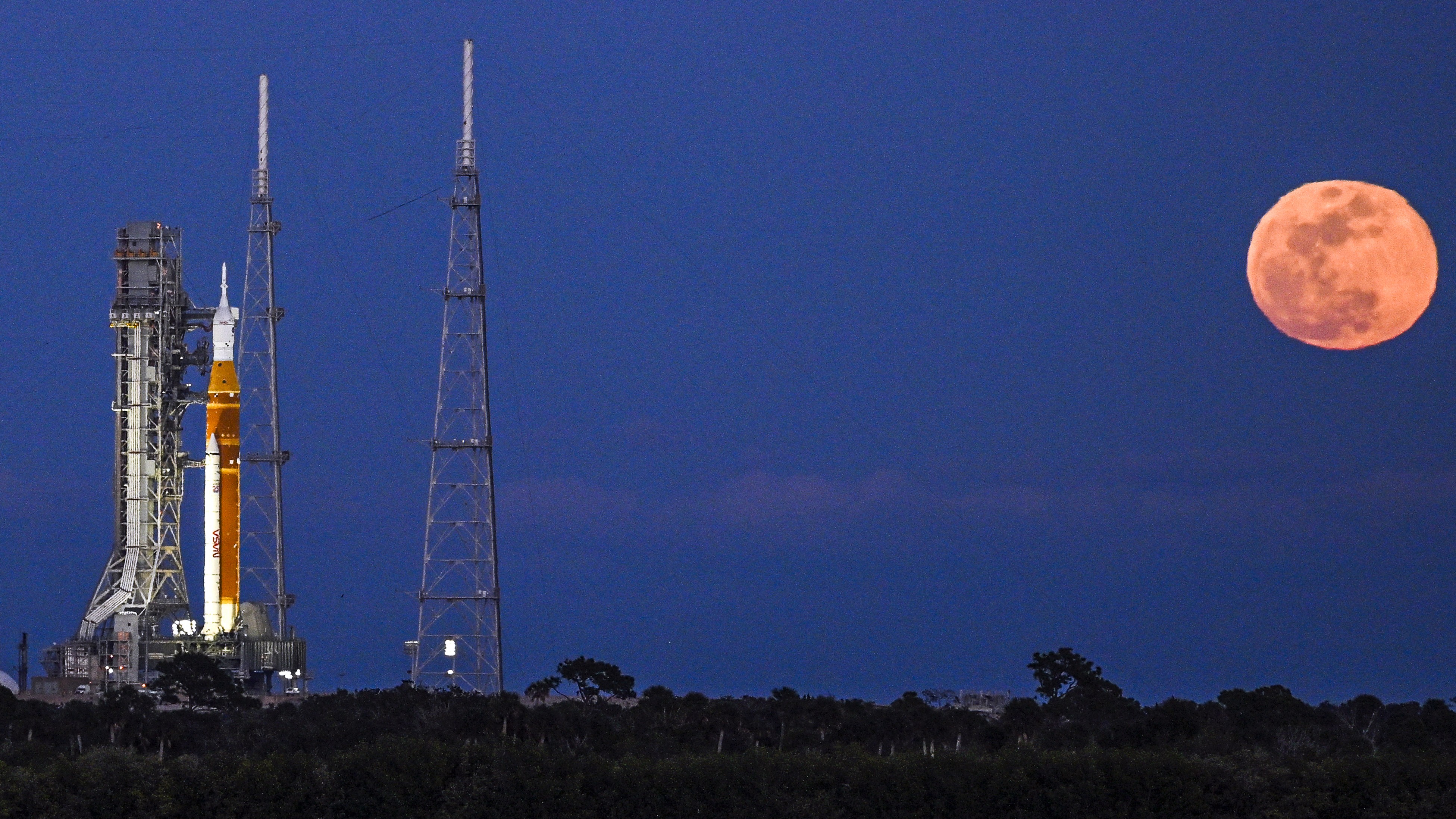 Artemis II simulated launch window opens tonight as NASA delays mission due to 'rare Arctic outbreak'
Earth is 'missing' lighter elements. They may be hiding in its solid inner core.
Artemis II simulated launch window opens tonight as NASA delays mission due to 'rare Arctic outbreak'
Earth is 'missing' lighter elements. They may be hiding in its solid inner core.
 Lifespan may be 50% heritable, study suggests
 Astronomers spot 'time-warped' supernovas whose light both has and hasn't reached Earth
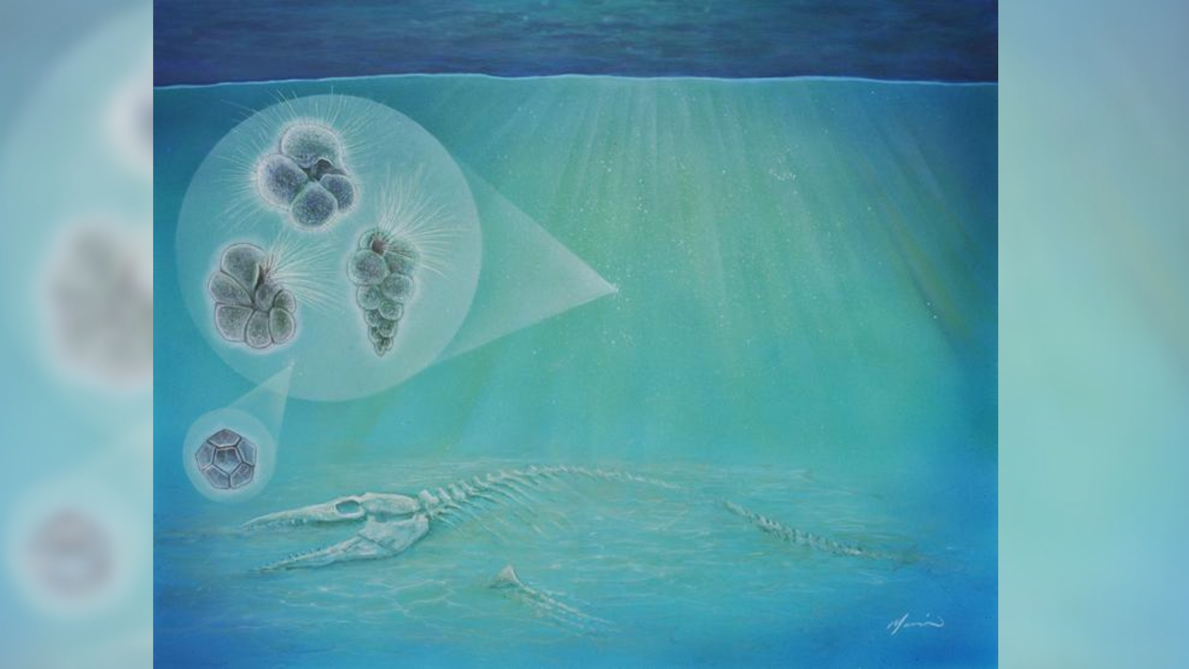 Life may have rebounded 'ridiculously fast' after the dinosaur-killing asteroid impact
LATEST ARTICLES
Life may have rebounded 'ridiculously fast' after the dinosaur-killing asteroid impact
LATEST ARTICLES 1Canon 15x50 IS All Weather binocular review
- 2The Colorado River's largest tributary flows 'uphill' for over 100 miles — and geologists may finally have an explanation for it
- 3Artemis II simulated launch window opens tonight as NASA delays mission due to 'rare Arctic outbreak'
- 4Jiawen Galaxy Projector Light review
- 5What to buy as a beginner runner: Must-haves vs non-essentials