- Planet Earth
- Geology
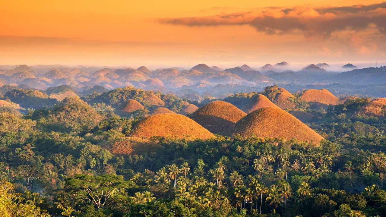
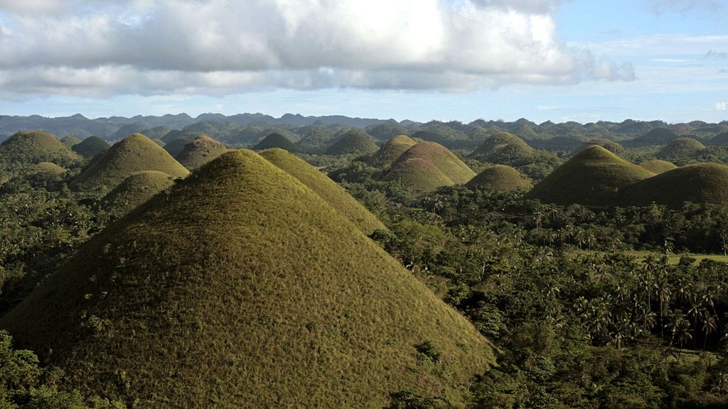
The Chocolate Hills are 1,776 mounds on Bohol Island in the Philippines where grassy cover turns brown during the dry season.
When you purchase through links on our site, we may earn an affiliate commission. Here’s how it works.
 The Chocolate Hills are named after the color they turn during the dry season.
(Image credit: Afriandi via Getty Images)
Share
Share by:
The Chocolate Hills are named after the color they turn during the dry season.
(Image credit: Afriandi via Getty Images)
Share
Share by:
- Copy link
- X
Name: Chocolate Hills
Location: Bohol, Philippines
Coordinates: 9.8297, 124.1396
Why it's incredible: The hills change color with the seasons, inspiring legends that giants formed the mounds from mud.
The Chocolate Hills are a formation made of 1,776 limestone, grass-covered mounds in the Philippines.
The Chocolate Hills were designated a national geological monument of the Philippines in 1988 and were granted protection as a natural monument in 1997. There is no other formation quite like them in the world, with just one region in Java, Indonesia, having a similar, but less impressive geology.
You may like-
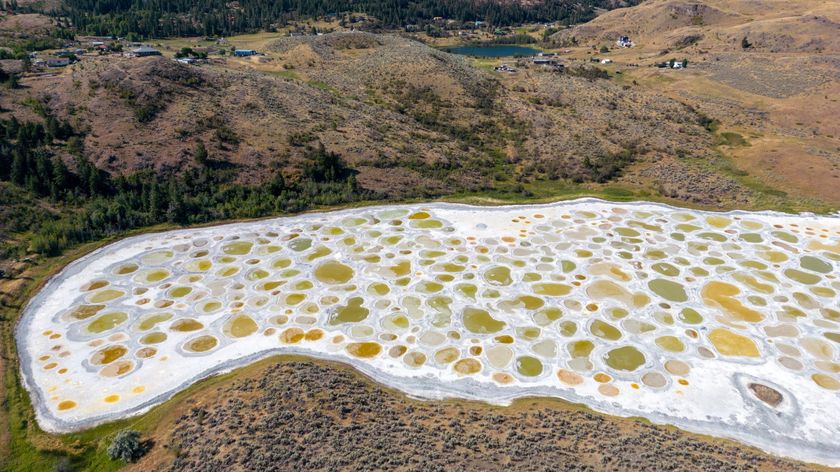 Spotted Lake: Canada's soda lake with colorful brine pools that are smelly and slimy 'like the white of an egg'
-
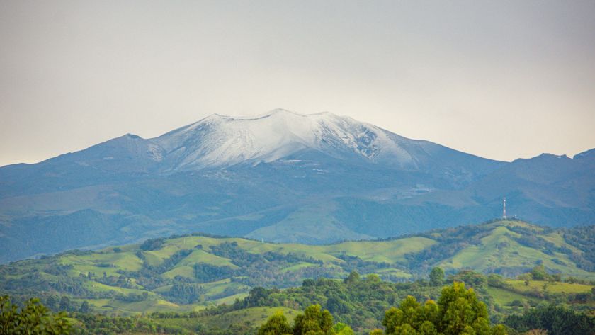 Coconucos volcanic chain: Colombia's stunning cluster of volcanoes, lost in an otherworldly landscape
-
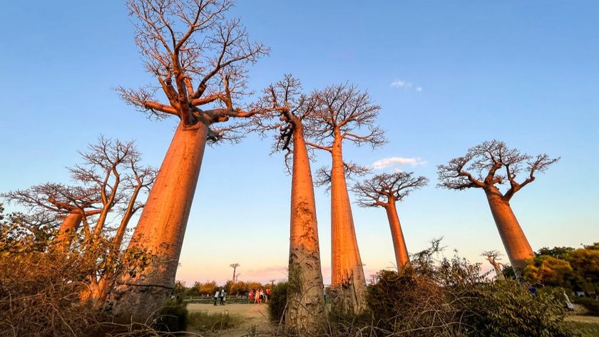 Avenue of the Baobabs: Madagascar's natural monument with dozens of 'mother of the forest' trees
The hills are between 100 and 390 feet (30 to 120 meters) tall and have tapering tops. They are examples of what geologists call "mogotes" — steep-sided mounds that occur in tropical karst landscapes, or areas that have a soluble bedrock and host sinkholes and cave systems. Numerous underground caverns and springs have been documented around the Chocolate Hills, according to a 2001 research article, with some caves potentially existing directly beneath the mogotes themselves.
Evidence suggests the Chocolate Hills formed sometime at the start of, or just before, the last ice age (2.6 million to 11,700 years ago), when tectonic processes lifted coral and other marine deposits. These deposits were then exposed to rainfall and erosion, which carved the landscape into regular mounds.
Local myths have tried to explain how the Chocolate Hills formed. According to one legend, the mounds formed after a mud-throwing fight between two giants. Another tale says the region was once inhabited by giant children, who, while competing to make the most mud cakes, baked them under coconut half shells that eventually became the Chocolate Hills.
The land between the hills is flat and cultivated with rice and other crops. When the Chocolate Hills were declared a natural monument in the late 1990s, farmers, small-scale miners and landowners rose up against the government because they feared environmental protections would curb their property rights and livelihoods.
Sign up for the Live Science daily newsletter nowContact me with news and offers from other Future brandsReceive email from us on behalf of our trusted partners or sponsorsBy submitting your information you agree to the Terms & Conditions and Privacy Policy and are aged 16 or over.
—Spotted Lake: Canada's soda lake with colorful brine pools that are smelly and slimy 'like the white of an egg'
—Sistema Ox Bel Ha: A vast hidden system that's the longest underwater cave in the world
—Triple Divide Peak: Montana's unique liquid 'crossroads' where water can flow into three oceans
These protests escalated into violent conflicts between the military and a guerilla group dubbed the "Chocolate Hills Command," according to the 2001 article. Two armed fights broke out, one of which caused 10 deaths in October 1999.
Balancing the diverse and sometimes conflicting needs of environmental protection, tourism and local residents still poses a challenge today; the construction of a resort in the middle of the Chocolate Hills sparked public outcry in 2024.
Discover more incredible places, where we highlight the fantastic history and science behind some of the most dramatic landscapes on Earth.
TOPICS incredible places Sascha PareSocial Links NavigationStaff writer
 Sascha is a U.K.-based staff writer at Live Science. She holds a bachelor’s degree in biology from the University of Southampton in England and a master’s degree in science communication from Imperial College London. Her work has appeared in The Guardian and the health website Zoe. Besides writing, she enjoys playing tennis, bread-making and browsing second-hand shops for hidden gems.
Show More CommentsYou must confirm your public display name before commenting
Please logout and then login again, you will then be prompted to enter your display name.
Logout Read more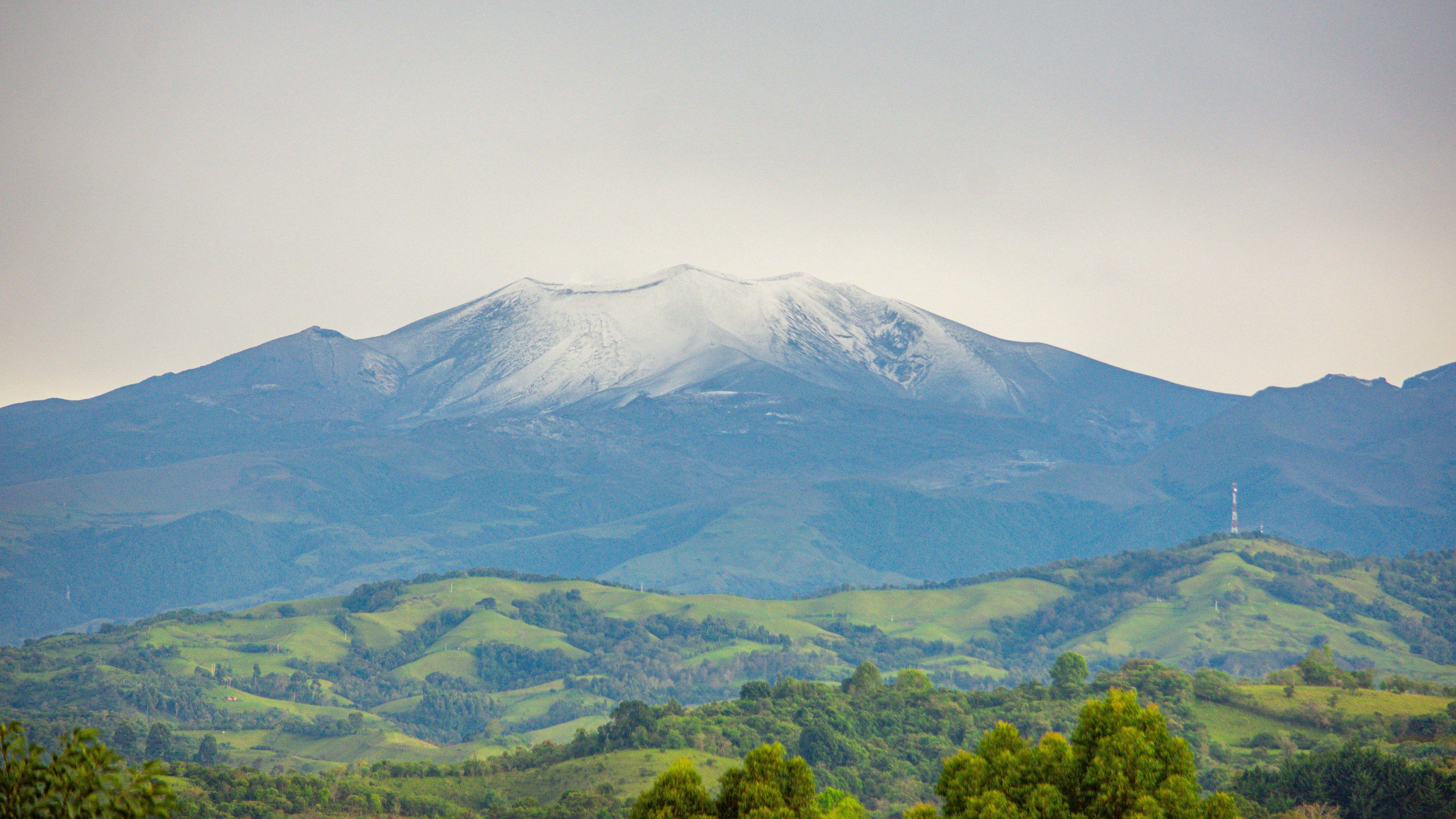 Coconucos volcanic chain: Colombia's stunning cluster of volcanoes, lost in an otherworldly landscape
 Avenue of the Baobabs: Madagascar's natural monument with dozens of 'mother of the forest' trees
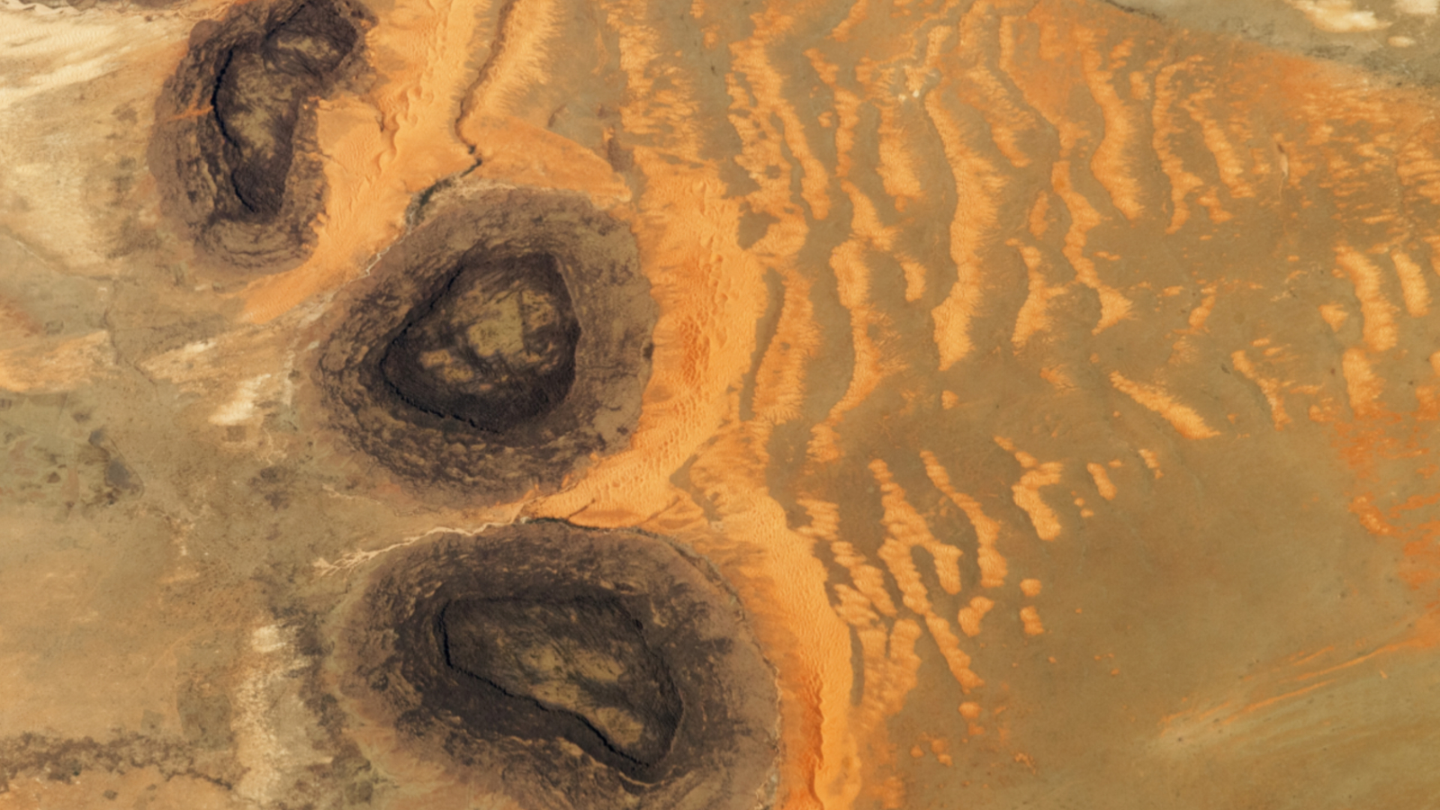 Trio of 'black mesas' leftover from Paleozoic era spawn rare sand dunes in the Sahara
 Extreme 'paradise' volcano in Costa Rica is like a piece of ancient Mars on our doorstep
 Rare dusting of snow covers one of the driest place on Earth and shuts down massive radio telescope
 Submerged sandbanks shine like underwater auroras in astronaut's view of the Bahamas
Latest in Geology
Submerged sandbanks shine like underwater auroras in astronaut's view of the Bahamas
Latest in Geology
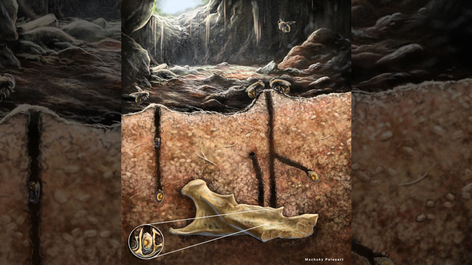 Ancient burrowing bees made their nests in the tooth cavities and vertebrae of dead rodents, scientists discover
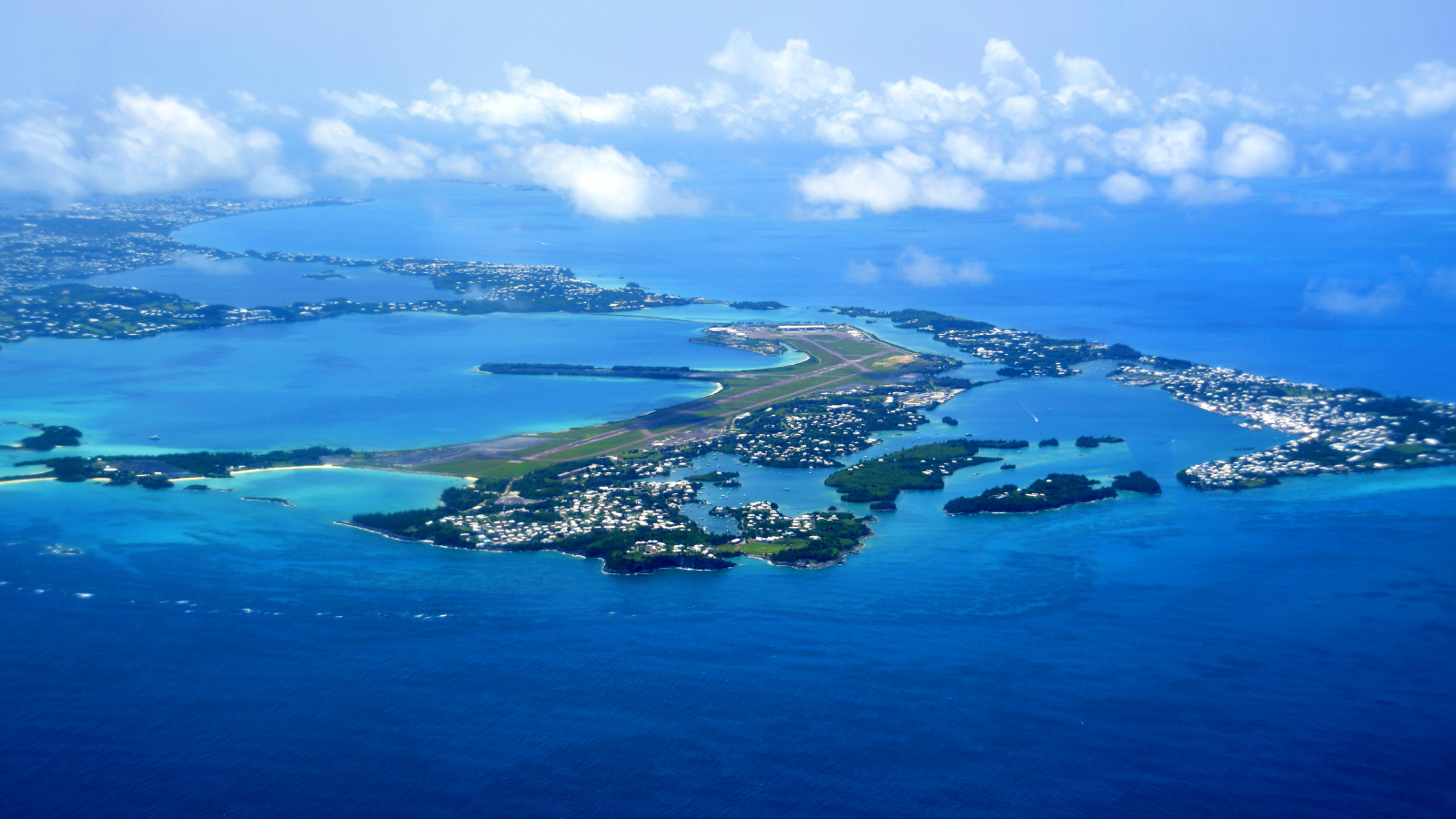 Giant structure discovered deep beneath Bermuda is unlike anything else on Earth
 Earth's crust hides enough 'gold' hydrogen to power the world for tens of thousands of years, emerging research suggests
Trio of 'black mesas' leftover from Paleozoic era spawn rare sand dunes in the Sahara
Earth's crust hides enough 'gold' hydrogen to power the world for tens of thousands of years, emerging research suggests
Trio of 'black mesas' leftover from Paleozoic era spawn rare sand dunes in the Sahara
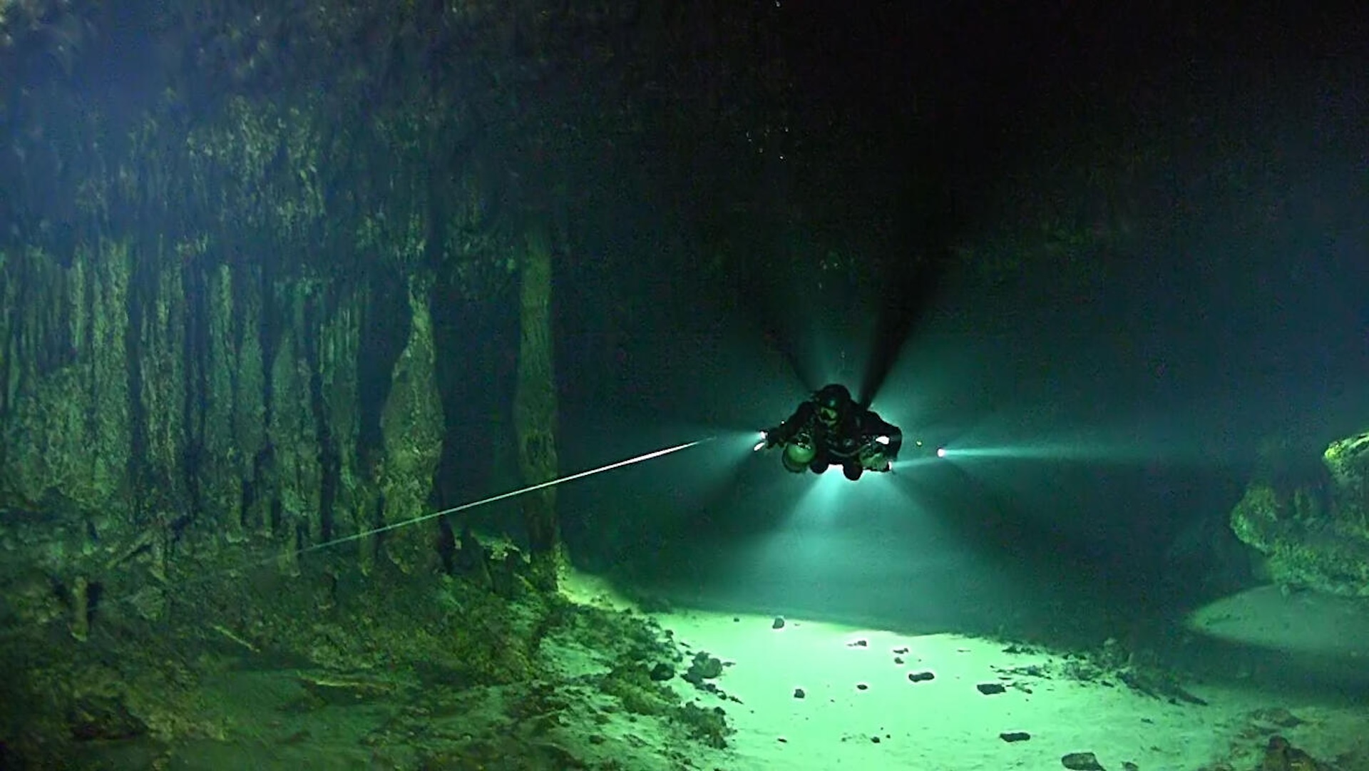 Sistema Ox Bel Ha: A vast hidden system that's the longest underwater cave in the world
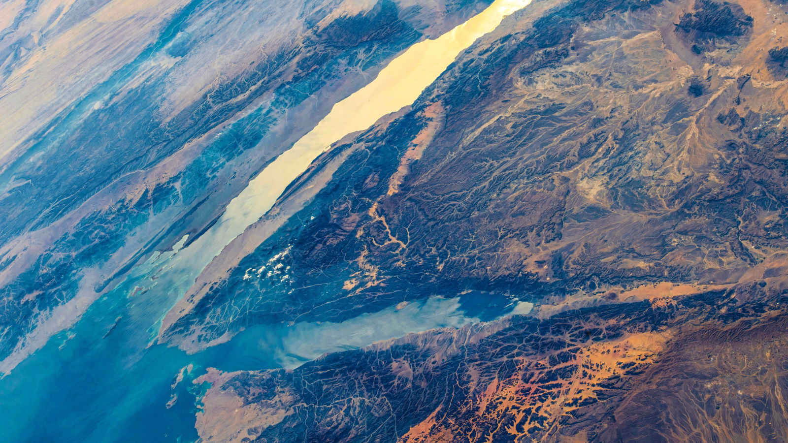 A gulf separating Africa and Asia is still pulling apart — 5 million years after scientists thought it had stopped
Latest in Features
Chocolate Hills: The color-changing mounds in the Philippines that inspired legends of mud-slinging giants
A gulf separating Africa and Asia is still pulling apart — 5 million years after scientists thought it had stopped
Latest in Features
Chocolate Hills: The color-changing mounds in the Philippines that inspired legends of mud-slinging giants
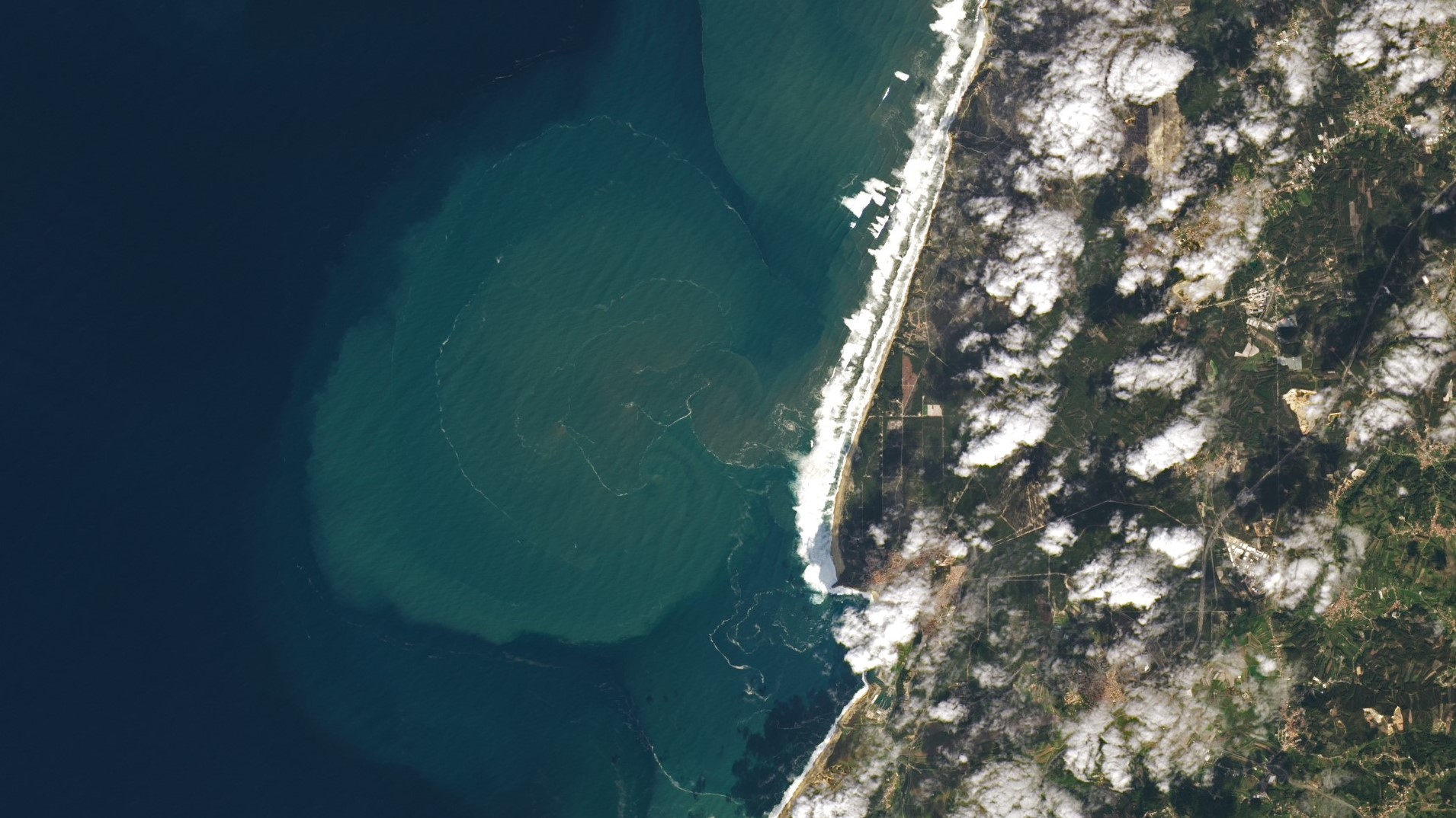 Giant underwater plumes triggered by 7-story waves at Nazaré captured off Portuguese coast
 Could there ever be a worldwide internet outage?
 How much of your body could you lose — and still survive?
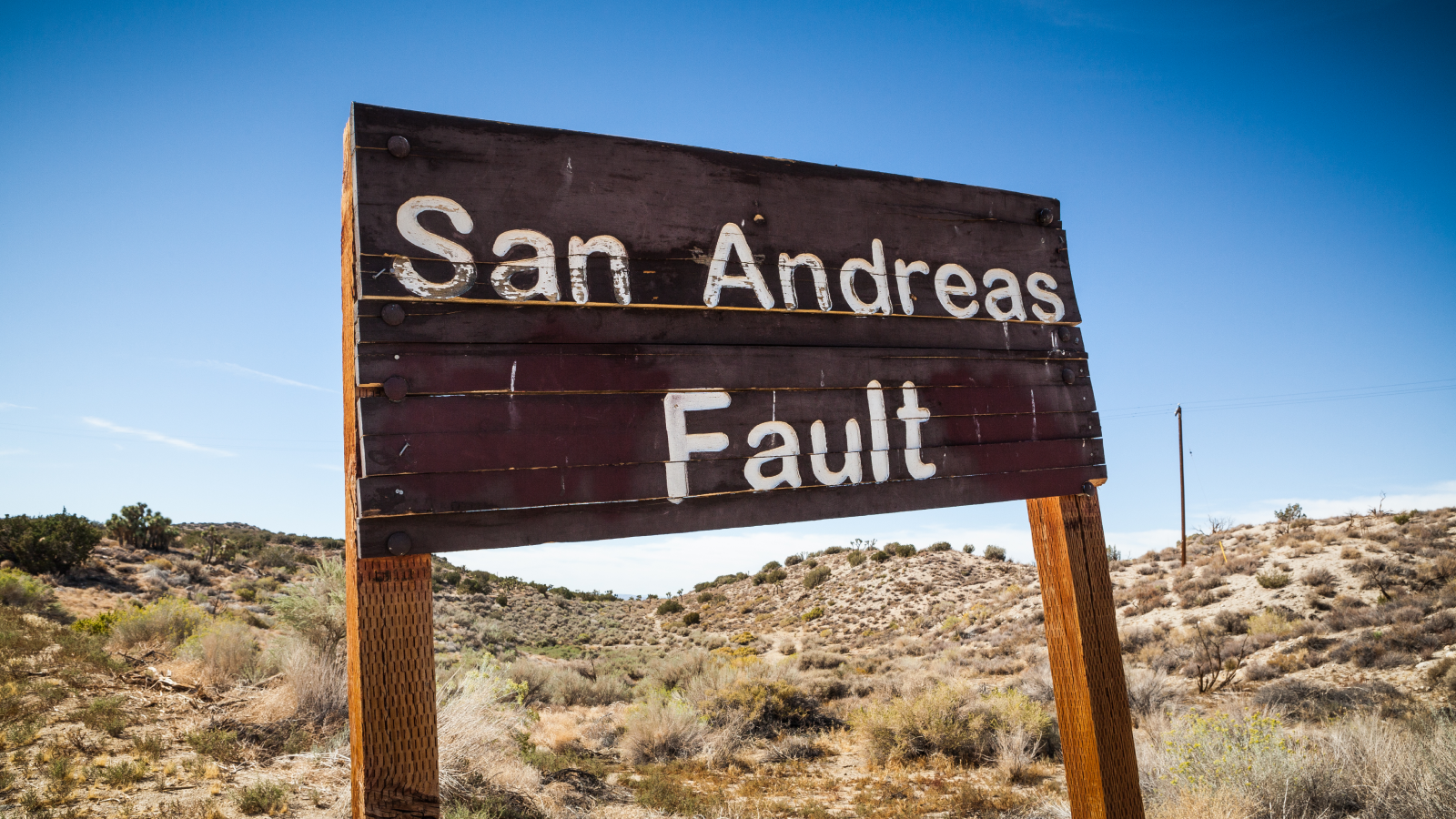 Parkfield, San Andreas, and the quest for a 'crystal ball' for predicting earthquakes before they happen
 How to watch 'Pole to Pole with Will Smith' — TV and streaming details as Oscar-winning actor blends adventure and scientific discovery
LATEST ARTICLES
How to watch 'Pole to Pole with Will Smith' — TV and streaming details as Oscar-winning actor blends adventure and scientific discovery
LATEST ARTICLES 1How to choose the best dehumidifier for your home this season
- 2Stream Will Smith's Pole to Pole and many more nature and science documentaries with a 33% saving in this limited-time Disney+ deal
- 3An ocean the size of the Arctic once covered half of Mars, new images hint
- 4'Pain sponge' derived from stem cells could soak up pain signals before they reach the brain
- 5Arctic blast probably won't cause trees to explode in the cold — but here's what happens if and when they do go boom