
- Planet Earth
A switch from a humid to a dry climate has led the Eastern African Rift Zone to pull apart more freely, new research finds.
When you purchase through links on our site, we may earn an affiliate commission. Here’s how it works.
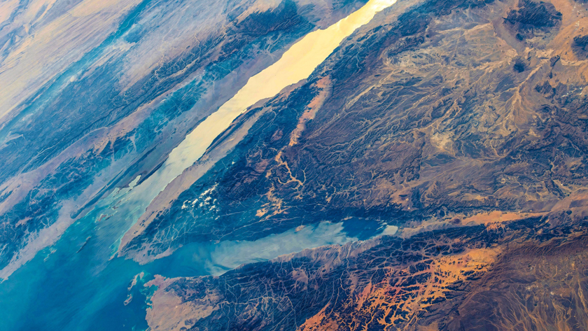
 (Image credit: Paul & Paveena Mckenzie/Getty Images)
Share
Share by:
(Image credit: Paul & Paveena Mckenzie/Getty Images)
Share
Share by:
- Copy link
- X
Over the past 5,000 years, East Africa has dried out. Now, new research finds that this change may be making the continent pull apart faster.
Faults in the East African Rift Zone have sped up since the levels of large lakes have dropped, according to research published in November in the journal Scientific Reports.
You may like-
 A gulf separating Africa and Asia is still pulling apart — 5 million years after scientists thought it had stopped
-
 Eruptions of ocean volcanoes may be the echoes of ancient continental breakups
-
 Greenland is twisting, tensing and shrinking due to the 'ghosts' of melted ice sheets
"Usually it is something we think about the other way around: Mountains build, and that changes the local or regional climate," Scholz told Live Science. "But it can work the other way around too."
Scholz and his colleagues conducted their research at Lake Turkana in Kenya, which is 155 miles (250 kilometers) long, 19 miles (30 km) wide, and up to 400 feet (120 meters) deep in places. That's nothing, however, compared with the level more than 5,000 years ago, when the lake was up to 500 feet (150 m) deeper.
That was during the African Humid Period, when much of Africa was wetter than it is today. In East Africa, this period persisted from about 9,600 years ago to 5,300 years ago, with drier conditions prevailing over the past 5,300 years. The researchers studied lake-bed sediments to determine ancient water levels and sediment flows into Lake Turkana. In the process, they noticed many small faults and the fingerprints of long-ago earthquakes in the sediments.
The tectonic plate that underlies Africa is pulling apart in eastern Africa and may one day split into two plates with an ocean between them. The deep, narrow lakes in the region — including Lake Turkana and nearby waterways, such as Lake Malawi in Tanzania and Mozambique —, are the result of this rifting process, which is creating a deep valley in the region.
Sign up for the Live Science daily newsletter nowContact me with news and offers from other Future brandsReceive email from us on behalf of our trusted partners or sponsorsBy submitting your information you agree to the Terms & Conditions and Privacy Policy and are aged 16 or over.Scholz and his team wanted to know if the changes in the lakes themselves were influencing this rifting process. Water matters to tectonics: When glaciers retreat, for example, the lifting of their weight actually causes the land beneath to spring up like rising bread — a process called isostatic rebound. Large amounts of water similarly press down on the crust beneath, potentially affecting processes like earthquakes.
The researchers found that after the end of the African Humid Period, the faults in Lake Turkana began to move faster, at an average rate of 0.007 inches (0.17 millimeters) of extra movement per year. In general, Africa is rifting apart at 0.25 inches (6.35 millimeters) per year.
Using computer simulations, the researchers figured out that this seismic speedup likely has two causes. One is that with less water pressing down on the crust, the faults have more freedom to move: Imagine a vise loosening around two slabs of wood. The other cause is more indirect. On an island in the south side of Lake Turkana is a volcano with an active magma chamber. The removal of water from the African Humid Period decompresses the mantle under this volcano, leading to more melting. That melt, in turn, moves into the volcano's magma chamber, inflating it and leading to more tectonic activity on nearby fault lines.
RELATED STORIES—Africa is being torn apart by a 'superplume' of hot rock from deep within Earth, study suggests
—A gulf separating Africa and Asia is still pulling apart — 5 million years after scientists thought it had stopped
—Lake Kivu: The ticking time bomb that could one day explode
"We see enhanced faulting during this time interval, so more pronounced earthquakes are presumably prevalent in this broader region now compared to 8,000 years ago," Scholz said.
The researchers are now working on a project at Lake Malawi looking at water level changes going back 1.4 million years, hoping to get a better sense of how the climate affects the separation of continents.
"This information about these huge changes in water volumes in these lakes is a really important part of the story," Scholz said.
Article SourcesMuirhead, J. D., Xue, L., Moucha, R., Paciga, M. K., Judd, E. J., & Scholz, C. A. (2025). Accelerated rifting in response to regional climate change in the East African Rift System. Scientific Reports, 15(1), 38833. https://doi.org/10.1038/s41598-025-23264-9
TOPICS news explainers Stephanie PappasSocial Links NavigationLive Science Contributor
Stephanie Pappas is a contributing writer for Live Science, covering topics ranging from geoscience to archaeology to the human brain and behavior. She was previously a senior writer for Live Science but is now a freelancer based in Denver, Colorado, and regularly contributes to Scientific American and The Monitor, the monthly magazine of the American Psychological Association. Stephanie received a bachelor's degree in psychology from the University of South Carolina and a graduate certificate in science communication from the University of California, Santa Cruz.
Show More CommentsYou must confirm your public display name before commenting
Please logout and then login again, you will then be prompted to enter your display name.
Logout Read more Eruptions of ocean volcanoes may be the echoes of ancient continental breakups
 Greenland is twisting, tensing and shrinking due to the 'ghosts' of melted ice sheets
 Fragment of lost tectonic plate discovered where San Andreas and Cascadia faults meet
 Melting of West Antarctic ice sheet could trigger catastrophic reshaping of the land beneath
 Ruptures from 'silent' earthquakes deep in Earth's crust can heal themselves within hours
 Collapse of key Atlantic current could bring extreme drought to Europe for hundreds of years, study finds
Latest in Planet Earth
Collapse of key Atlantic current could bring extreme drought to Europe for hundreds of years, study finds
Latest in Planet Earth
 Arctic blast probably won't cause trees to explode in the cold — but here's what happens if and when they do go boom
 Chocolate Hills: The color-changing mounds in the Philippines that inspired legends of mud-slinging giants
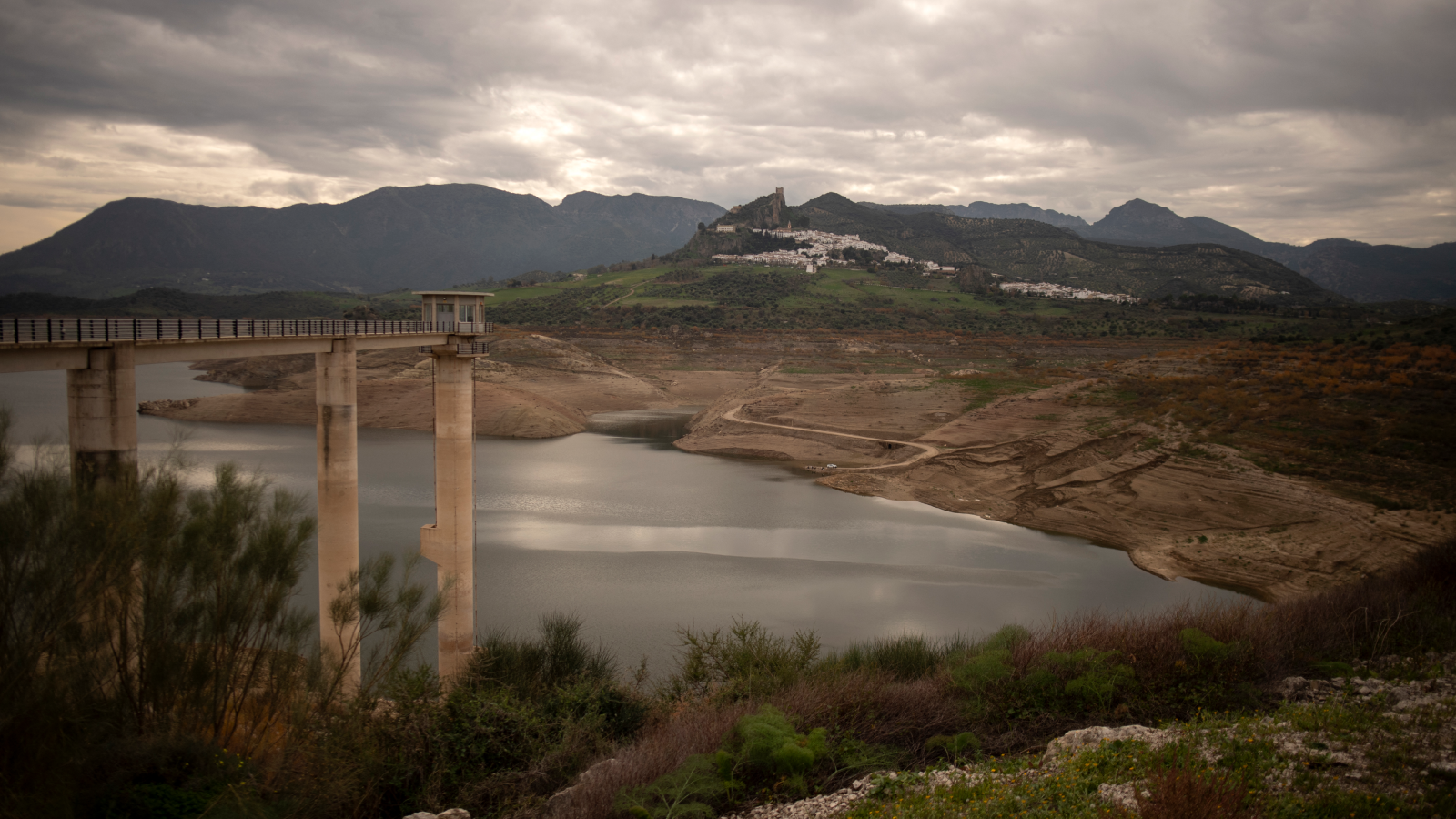
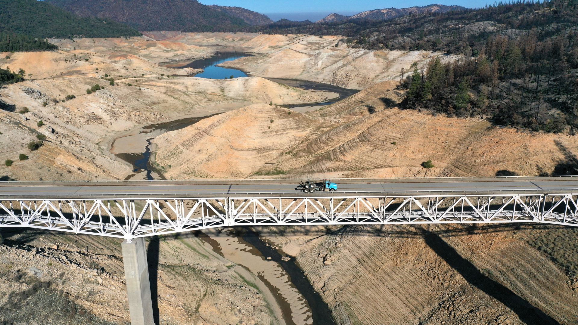 Californians have been using far less water than suppliers estimated — what does this mean for the state?
 Enormous freshwater reservoir discovered off the East Coast may be 20,000 years old and big enough to supply NYC for 800 years
 Last year, the oceans absorbed a record-breaking amount of heat — equivalent to 12 Hiroshima bombs exploding every second
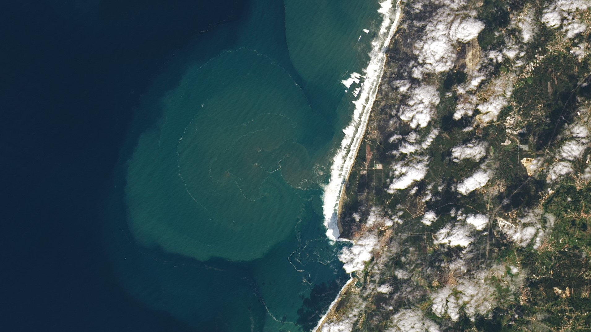 Giant underwater plumes triggered by 7-story waves at Nazaré captured off Portuguese coast
Latest in News
Giant underwater plumes triggered by 7-story waves at Nazaré captured off Portuguese coast
Latest in News
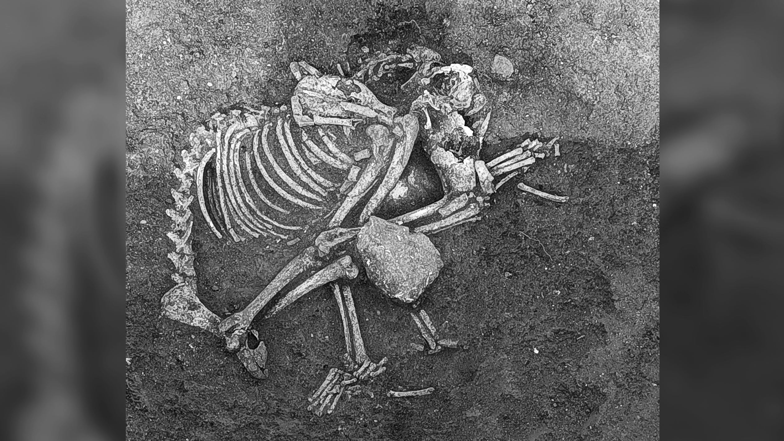 2,500 years ago, people in Bulgaria ate dog meat at feasts and as a delicacy, archaeological study finds
A drying climate is making East Africa pull apart faster
2,500 years ago, people in Bulgaria ate dog meat at feasts and as a delicacy, archaeological study finds
A drying climate is making East Africa pull apart faster
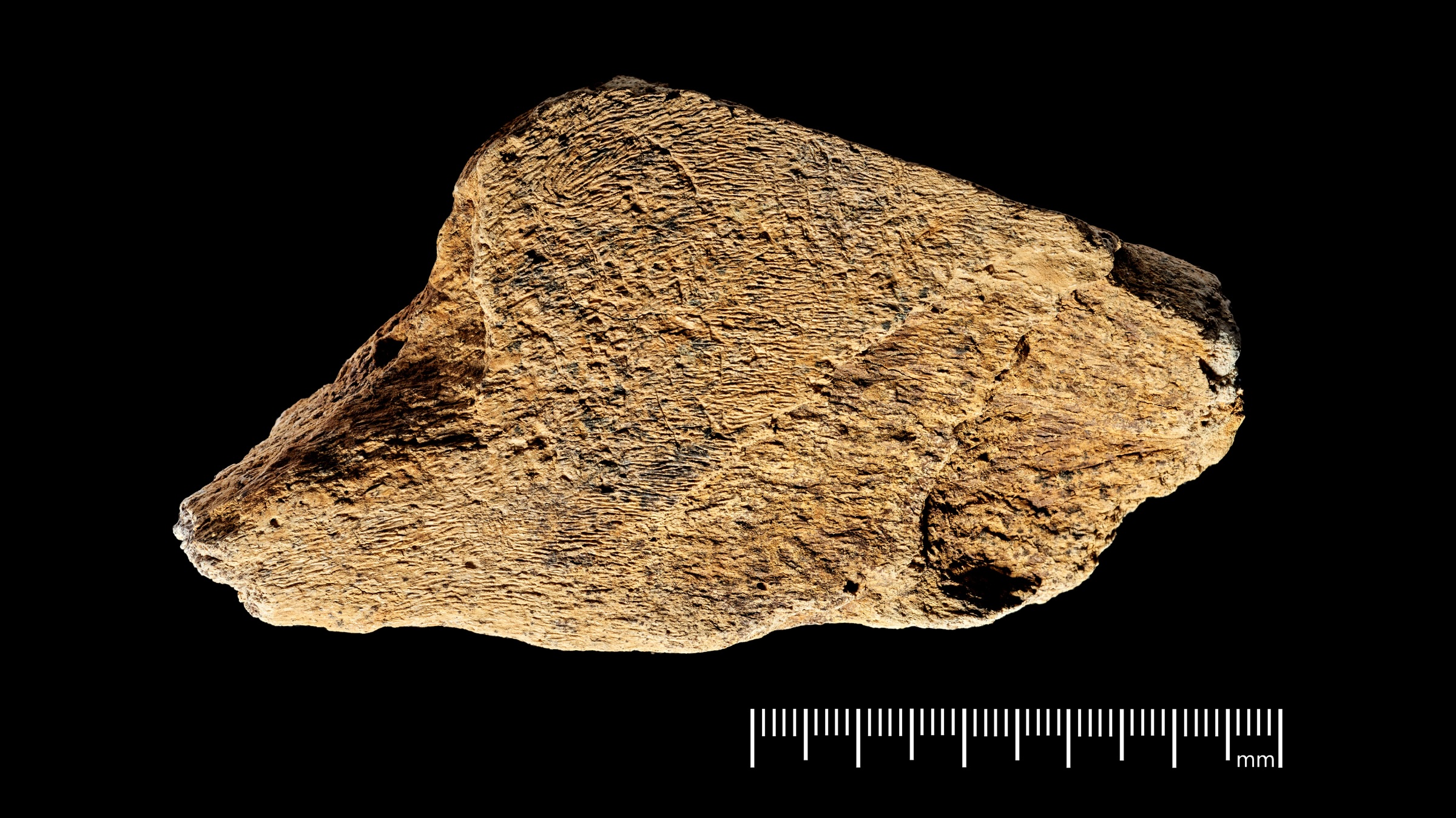 480,000-year-old ax sharpener is the oldest known elephant bone tool ever discovered in Europe
 People, not glaciers, transported rocks to Stonehenge, study confirms
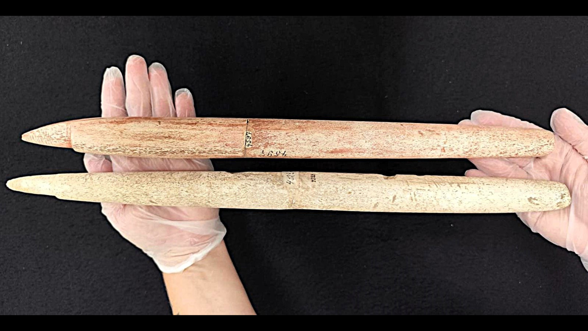 Some of the oldest harpoons ever found reveal Indigenous people in Brazil were hunting whales 5,000 years ago
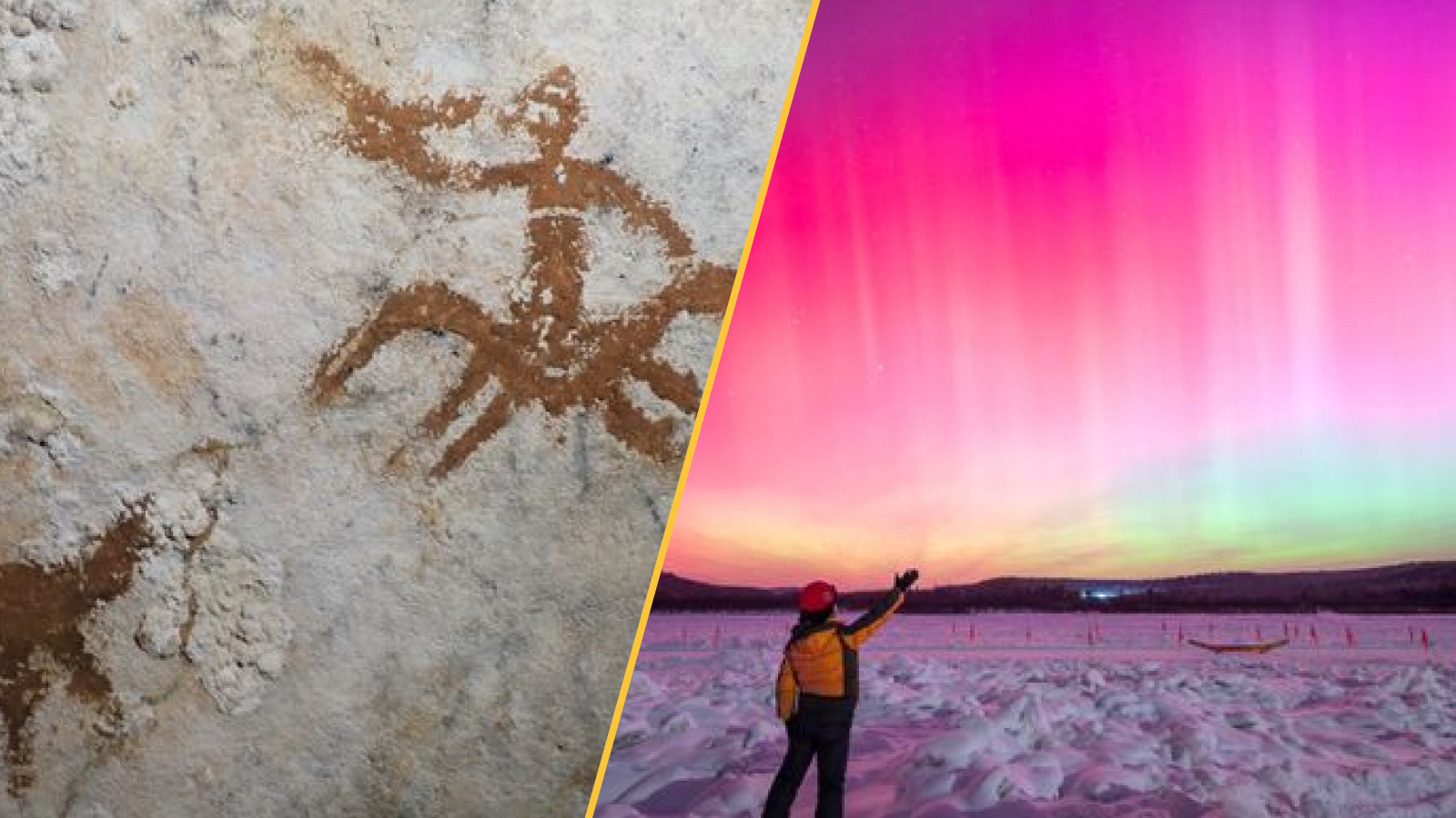 World's oldest rock art, giant reservoir found beneath the East Coast seafloor, black hole revelations, and a record solar radiation storm
LATEST ARTICLES
World's oldest rock art, giant reservoir found beneath the East Coast seafloor, black hole revelations, and a record solar radiation storm
LATEST ARTICLES 1Google Glass has found yet another lease of life — but is it too little too late for smart glasses?
- 2James Webb telescope peers into 'Eye of God' and finds clues to life's origins — Space photo of the week
- 3Why does the moon look larger when it's on the horizon?
- 42,500 years ago, people in Bulgaria ate dog meat at feasts and as a delicacy, archaeological study finds
- 5480,000-year-old ax sharpener is the oldest known elephant bone tool ever discovered in Europe


