- Planet Earth
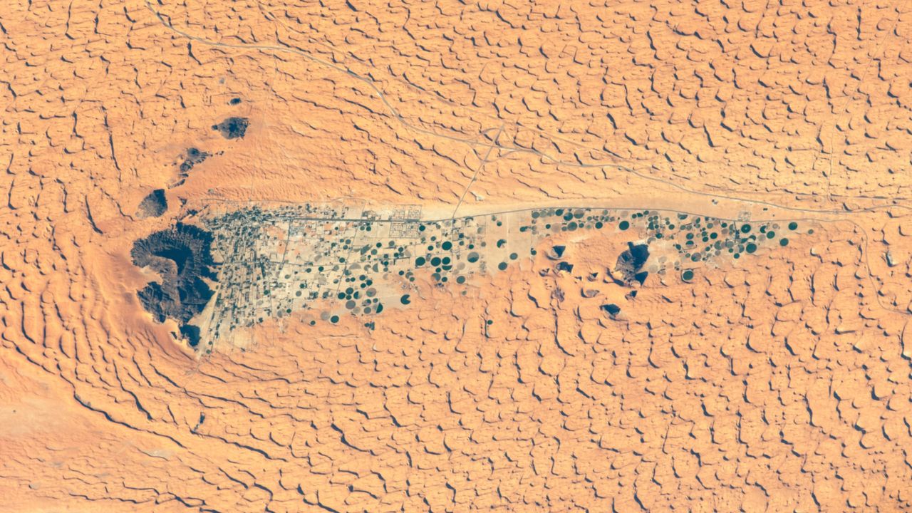
A 2020 astronaut photo shows the oasis town of Jubbah lurking within a paleolake in the wind shadow of Saudi Arabia's "two camel-hump mountain."
When you purchase through links on our site, we may earn an affiliate commission. Here’s how it works.
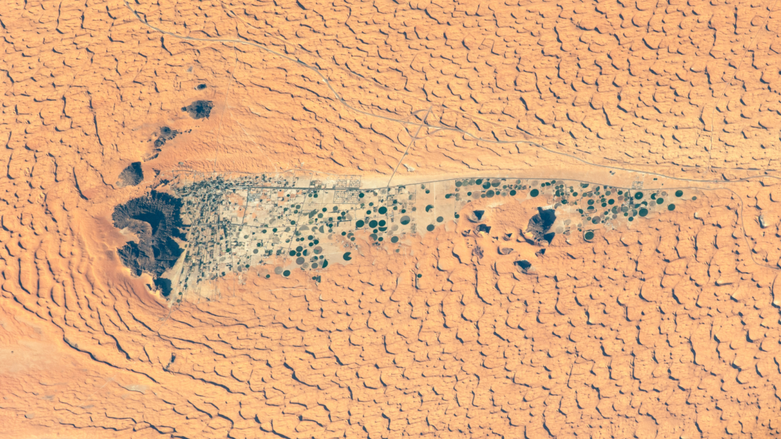 From space, the Saudi Arabian town of Jubbah looks like a long tail of crop circles trailing behind a hefty mountain in the middle of the harsh Nafud desert.
(Image credit: NASA/ISS program)
Share
Share by:
From space, the Saudi Arabian town of Jubbah looks like a long tail of crop circles trailing behind a hefty mountain in the middle of the harsh Nafud desert.
(Image credit: NASA/ISS program)
Share
Share by:
- Copy link
- X
Where is it? Jubbah, in the Nafud desert of Saudi Arabia [28.01186939, 40.95907106]
What's in the photo? An oasis town full of crop circles, alongside a mountain in the desert
Who took the photo? An unidentified astronaut on board the International Space Station (ISS)
When was it taken? Nov. 26, 2020
This intriguing astronaut photo shows an oasis town and crop circles lurking within the shadowy tail of a "camel-hump" mountain in the harsh Saudi Arabian desert. The unlikely settlement lies within an ancient lake bed and is home to rock art dating back thousands of years.
Jubbah sits within a bowl-like depression left over from an ancient lake, or paleolake, that measures around 12.5 miles (20 km) long and 2.5 miles (4 km) wide. As a result, parts of the town lie "hundreds of feet" below the surrounding sea of dunes, according to NASA's Earth Observatory.
You may like-
 Trio of 'black mesas' leftover from Paleozoic era spawn rare sand dunes in the Sahara
-
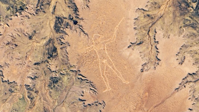 2-mile-tall, naked 'Marree Man' looming over Australian outback is a total mystery
-
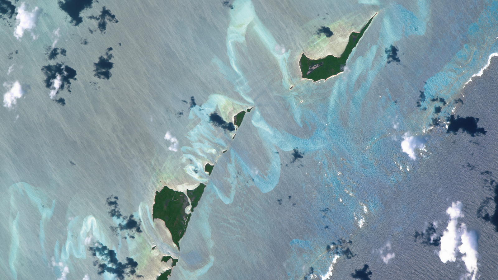
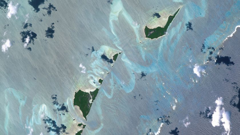 Submerged sandbanks shine like underwater auroras in astronaut's view of the Bahamas
At the western end of the paleolake stands a 4,144-foot-tall (1,264 meters) mountain, dubbed Jabal Umm Sinman (meaning "two camel-hump mountain"), due to "its resemblance to a camel with two humps resting on the ground" when viewed from ground level, according to Visit Saudi.
The prevailing winds in the area blow from west to east (left to right in the image), meaning Jabal Umm Sinman generates a "wind shadow" that largely shields Jubbah from sand being blown across the desert, according to the Earth Observatory.
Before the desertification of the Arabian Peninsula, Jubbah Lake was one of several freshwater sources in the region. Most of these sites had dried up by around 5,000 years ago. However, Jubbah Lake likely persisted longer thanks to its subsurface aquifer, which continues to supply the town's water.
This likely made the lake a popular landmark for prehistoric humans wandering through the desert, long before the town was established. If you look closely at the image, you can see a faint road (above Jubbah), which likely matches the path used by these early travelers, according to the Earth Observatory.
Sign up for the Live Science daily newsletter nowContact me with news and offers from other Future brandsReceive email from us on behalf of our trusted partners or sponsorsBy submitting your information you agree to the Terms & Conditions and Privacy Policy and are aged 16 or over.These people also left their mark in the foothills surrounding Jabal Umm Sinman by carving symbols and pictures in the rocks. In total, there are around 5,500 inscriptions and 2,000 animal depictions, including portrayals of ibex, leopards, ostriches, dogs on leashes, and more than 1,000 camels.
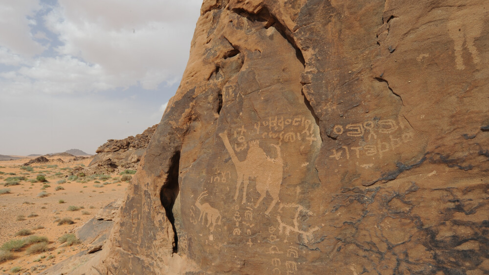
This extensive rock art dates back at least 10,000 years and is part of a UNESCO World Heritage Site, along with two other nearby sites near Shuwaymis.
Saudi Arabia is an archaeological hot spot for rock art and other Paleolithic structures. For example, Jubbah is around 155 miles (250 km) northeast of the famous Al Naslaa rock — a hefty sandstone slab covered in prehistoric carvings and mysteriously split into two perfect halves.
Recent research into 8,000-year-old giant "kite" structures in the region hints that the carvings may be the world's oldest megastructure blueprints.
See more Earth from space
 Snow covers 'driest place on Earth'
A satellite photo from July shows intricate snowy stripes painted across the Atacama Desert in Chile. The icy weather temporarily put the Atacama Large Millimeter/submillimeter Array (ALMA) observatory into "survival mode."
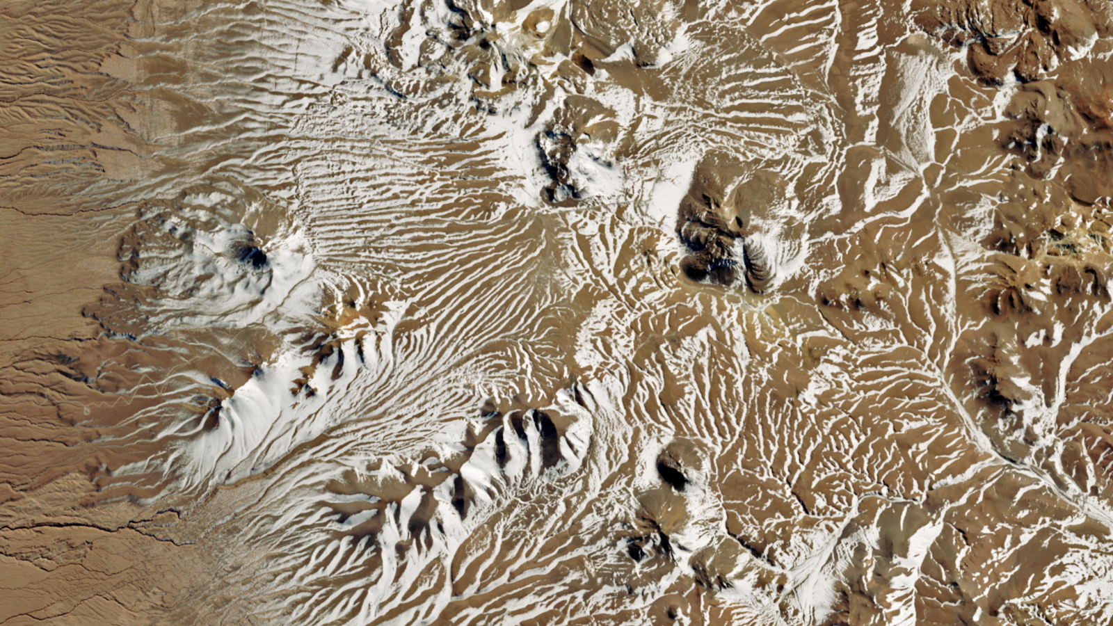
 Trio of 'black mesas' in the Sahara
A 2023 astronaut photo shows three dark hills, or mesas, towering above part of the Sahara desert in southern Mauritania. The structures are remnants of a single Paleozoic era formation, and have helped to create a series of striking sand dunes.
 2-mile-tall, naked 'Marree Man'
A 2019 satellite photo shows the recently resurrected "Marree Man" geoglyph, which mysteriously appeared in the Australian outback in 1998. Experts are still unsure who created it.
TOPICS Earth from space Harry BakerSocial Links NavigationSenior Staff Writer
Harry is a U.K.-based senior staff writer at Live Science. He studied marine biology at the University of Exeter before training to become a journalist. He covers a wide range of topics including space exploration, planetary science, space weather, climate change, animal behavior and paleontology. His recent work on the solar maximum won "best space submission" at the 2024 Aerospace Media Awards and was shortlisted in the "top scoop" category at the NCTJ Awards for Excellence in 2023. He also writes Live Science's weekly Earth from space series.
Show More CommentsYou must confirm your public display name before commenting
Please logout and then login again, you will then be prompted to enter your display name.
Logout Read more
Trio of 'black mesas' leftover from Paleozoic era spawn rare sand dunes in the Sahara
2-mile-tall, naked 'Marree Man' looming over Australian outback is a total mystery
 Submerged sandbanks shine like underwater auroras in astronaut's view of the Bahamas
Rare dusting of snow covers one of the driest place on Earth and shuts down massive radio telescope
Submerged sandbanks shine like underwater auroras in astronaut's view of the Bahamas
Rare dusting of snow covers one of the driest place on Earth and shuts down massive radio telescope
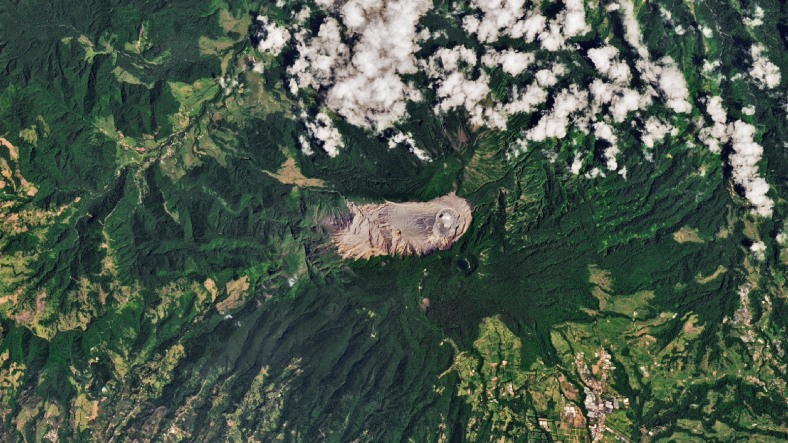 Extreme 'paradise' volcano in Costa Rica is like a piece of ancient Mars on our doorstep
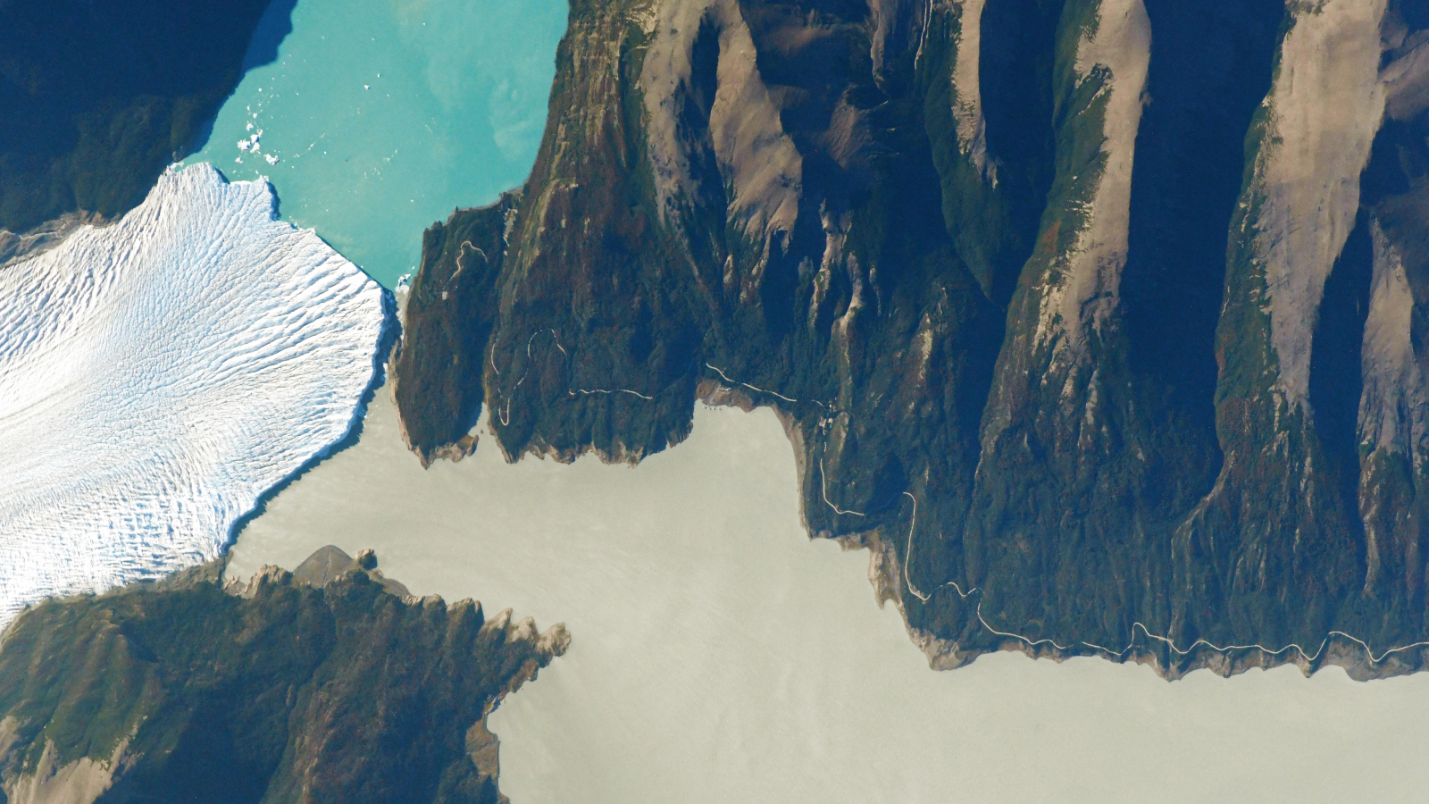 See the exact point where a glacier, a lake and a river 'touch' in Argentina
Latest in Planet Earth
See the exact point where a glacier, a lake and a river 'touch' in Argentina
Latest in Planet Earth
 A drying climate is making East Africa pull apart faster
 Arctic blast probably won't cause trees to explode in the cold — but here's what happens if and when they do go boom
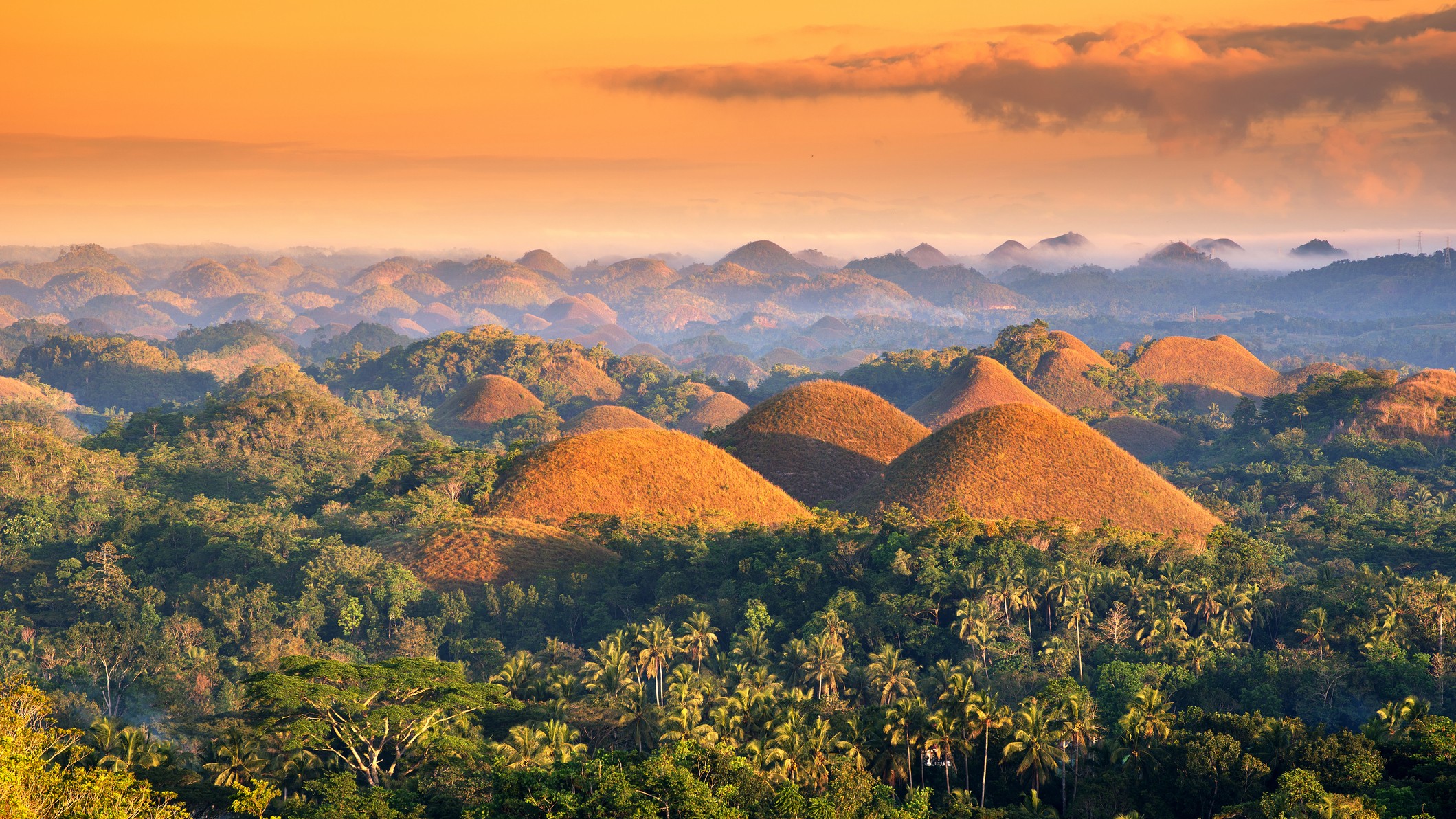 Chocolate Hills: The color-changing mounds in the Philippines that inspired legends of mud-slinging giants
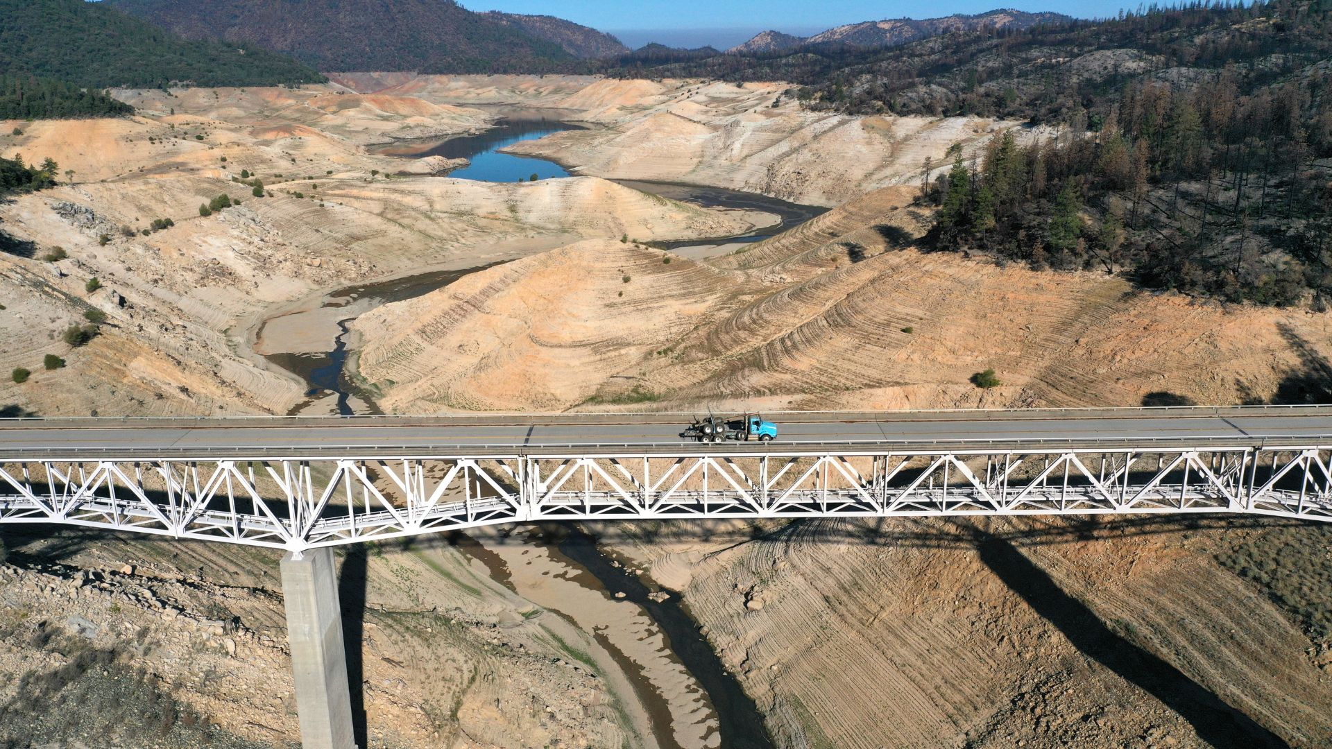 Californians have been using far less water than suppliers estimated — what does this mean for the state?
 Enormous freshwater reservoir discovered off the East Coast may be 20,000 years old and big enough to supply NYC for 800 years
 Last year, the oceans absorbed a record-breaking amount of heat — equivalent to 12 Hiroshima bombs exploding every second
Latest in Features
Ancient lake full of crop circles lurks in the shadow of Saudi Arabia's 'camel-hump' mountain
Last year, the oceans absorbed a record-breaking amount of heat — equivalent to 12 Hiroshima bombs exploding every second
Latest in Features
Ancient lake full of crop circles lurks in the shadow of Saudi Arabia's 'camel-hump' mountain
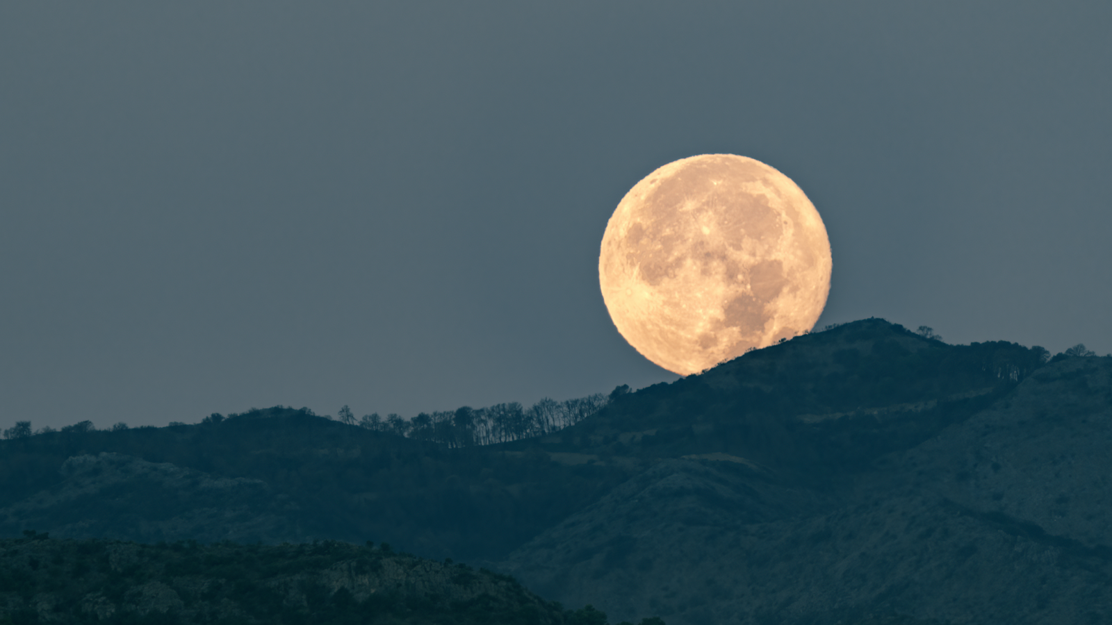 Why does the moon look larger when it's on the horizon?
 Varna Gold: Humanity's first gold jewelry was found in a cemetery with a gold 'penis sheath'
 Could there ever be a worldwide internet outage?
 Why don't you usually see your nose?
 How much of your body could you lose — and still survive?
LATEST ARTICLES
How much of your body could you lose — and still survive?
LATEST ARTICLES 1IVF hormones could be delivered with painless 'microneedle' patch someday, early study hints
- 2AI may accelerate scientific progress — but here's why it can't replace human scientists
- 31,400-year-old Zapotec tomb discovered in Mexico features enormous owl sculpture symbolizing death
- 4The UK has lost its measles elimination status — again
- 5People with more 'brown fat' have healthier cardiovascular systems. A new study in mice may explain why.